
The updated algorithm increases the reliability and accuracy of Spotter’s wind velocity measurements.
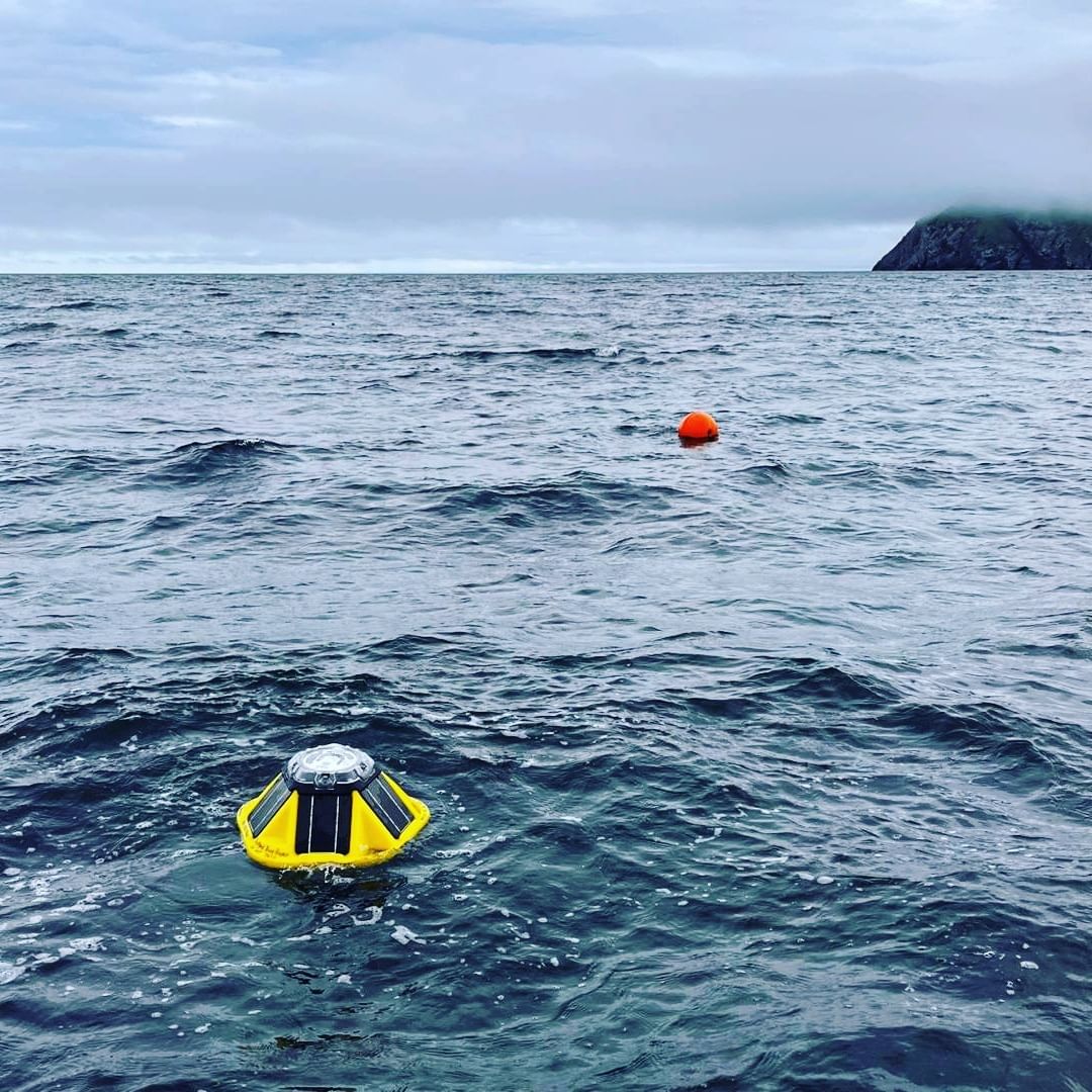
Sofar’s Spotter buoy collects and transmits ocean data in real-time. The buoy is outfitted with a variety of measurement tools that make direct observations of ocean conditions at the sea surface. Barometric pressure, for example, is recorded using an onboard barometer.
Not all observations reported by Spotters are direct measurements. This ensures that the device can deliver as many ocean insights as possible, without becoming overloaded with specialized and costly measurement devices. Observations that are not made directly are derived:
Spotter uses this approach to measure wind velocity. Because the device does not have a dedicated wind sensor onboard and given the strongly coupled relationship between winds and waves, wind velocity is derived from the observed wave spectrum. This is a logical approach, but, like any inference, is susceptible to inaccuracy because several approximations must be made to produce the estimate.
Recently, Tomoya Shimura and his fellow researchers at the University of Kyoto contacted Sofar with a suggested update to the wind velocity algorithm. The change, which was rigorously tested by our team, greatly improves the reliability of Spotter’s estimates of wind velocity, particularly at high speeds. The updated wind velocity algorithm is now available to all Spotter 3 customers via the latest firmware upgrade.
To assess the accuracy of the updated algorithm and the original algorithm, we compared the wind velocity magnitude estimates at 10 meters (U10) made by the global grid of Spotter buoys to the estimates of U10 made by altimeters on government-operated satellites. Altimeter observations, which are made as satellites circle Earth, are widely used by forecasting centers. As the satellites sample swaths of ocean that are populated by free-drifting Spotters, we can compare the altimeter and buoys’ estimates of wind velocity in the areas of overlap.
In Figure 1, we compare the collocated observations of wind velocity made by satellite altimeters and our global grid of Spotter buoys from January to December 2022 using the updated (left) and original (right) wind algorithm.

When using the original wind algorithm (Figure 1b, right), we observe that:
When using the updated wind algorithm (Figure 1a, left), we observe that:
Overall, the updated wind algorithm significantly improves the reliability of the Spotter wind velocity estimates when compared to estimates made by satellite altimeters.
To ensure that your Spotter 3 is using the updated wind algorithm, please install the latest firmware update or reach out to customer support at support@sofarocean.com.
Special thanks to Tomoya Shimura and his fellow researchers at the University of Kyoto —Nobuhito Mori, Yasuyuki Baba, and Takuya Miyashita — for making this update possible. We encourage you to read their full article discussing the wind velocity algorithm in the Journal of Geophysical Research: Oceans. The Sofar team encourages and appreciates feedback. If you have a suggestion for a future update to Spotter or Smart Mooring, please send an email to support@sofarocean.com.
--
To receive the latest posts about marine sensing devices in your inbox, subscribe to our blog. To speak with a Sofar representative, schedule a Spotter smart buoy demo or Data Services demo.


.gif)