Real-time ocean intelligence for every mission
Deployed in minutes, anywhere you operate.
Ocean data from our sensors. Routing generated from data. Detection of what moves below the surface.
From sensor to decision
Sofar builds the hardware that collects ocean data and the solutions that turn it into decisions. Deploy sensors where you need them and connect to a global network already in the water. Use the data for mission planning, or for detection and classification of activity below the surface. Buy either layer on its own. They are stronger together.
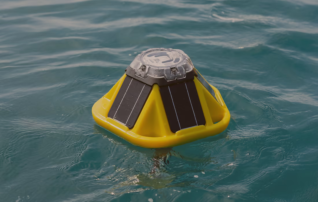
Spotter Buoy
The rapidly deployable marine sensing buoy, transmitting real-time surface and subsurface observations from the moment it deploys.
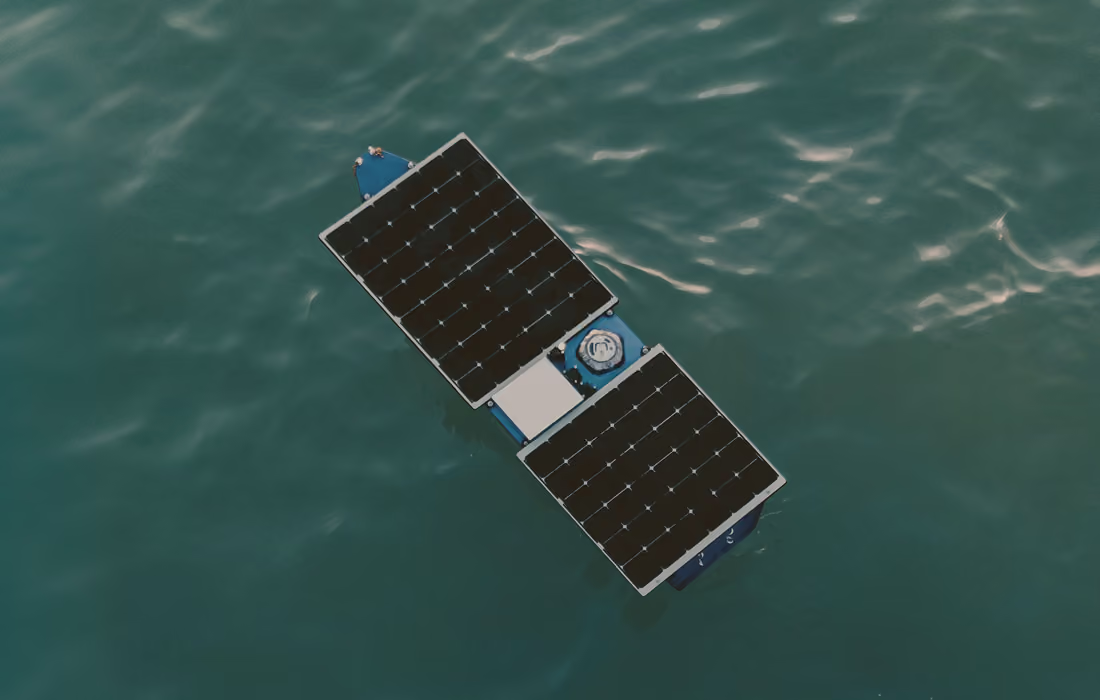
Spotter Scout
The rapidly deployable marine sensing buoy, transmitting real-time surface and subsurface observations from the moment it deploys.
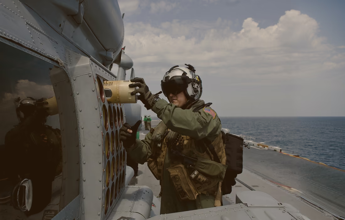
A-Size
The rapidly deployable marine sensing buoy, transmitting real-time surface and subsurface observations from the moment it deploys.
Spotter Buoy
The rapidly deployable marine sensing buoy, transmitting real-time surface and subsurface observations from the moment it deploys.
Spotter Scout
The rapidly deployable marine sensing buoy, transmitting real-time surface and subsurface observations from the moment it deploys.
A-Size
The rapidly deployable marine sensing buoy, transmitting real-time surface and subsurface observations from the moment it deploys.
Built for operations above and below the surface
Most weather forecasting was built for land. Sofar Ocean uses real-time ocean intelligence to build better forecasts at sea.
Operational Planning
Real-time, predicted sea states to plan for mission success.
MDA and Port Security
Real-time, predicted sea states to plan for mission success.
Contested Logistics
Optimized routing to sustain deployed forces at sea.
METOC Support
Operator-trusted ocean observations and forecasts.
Spotters deployed globally
Real-time observations per day
Vessels routed
More accurate forecasts
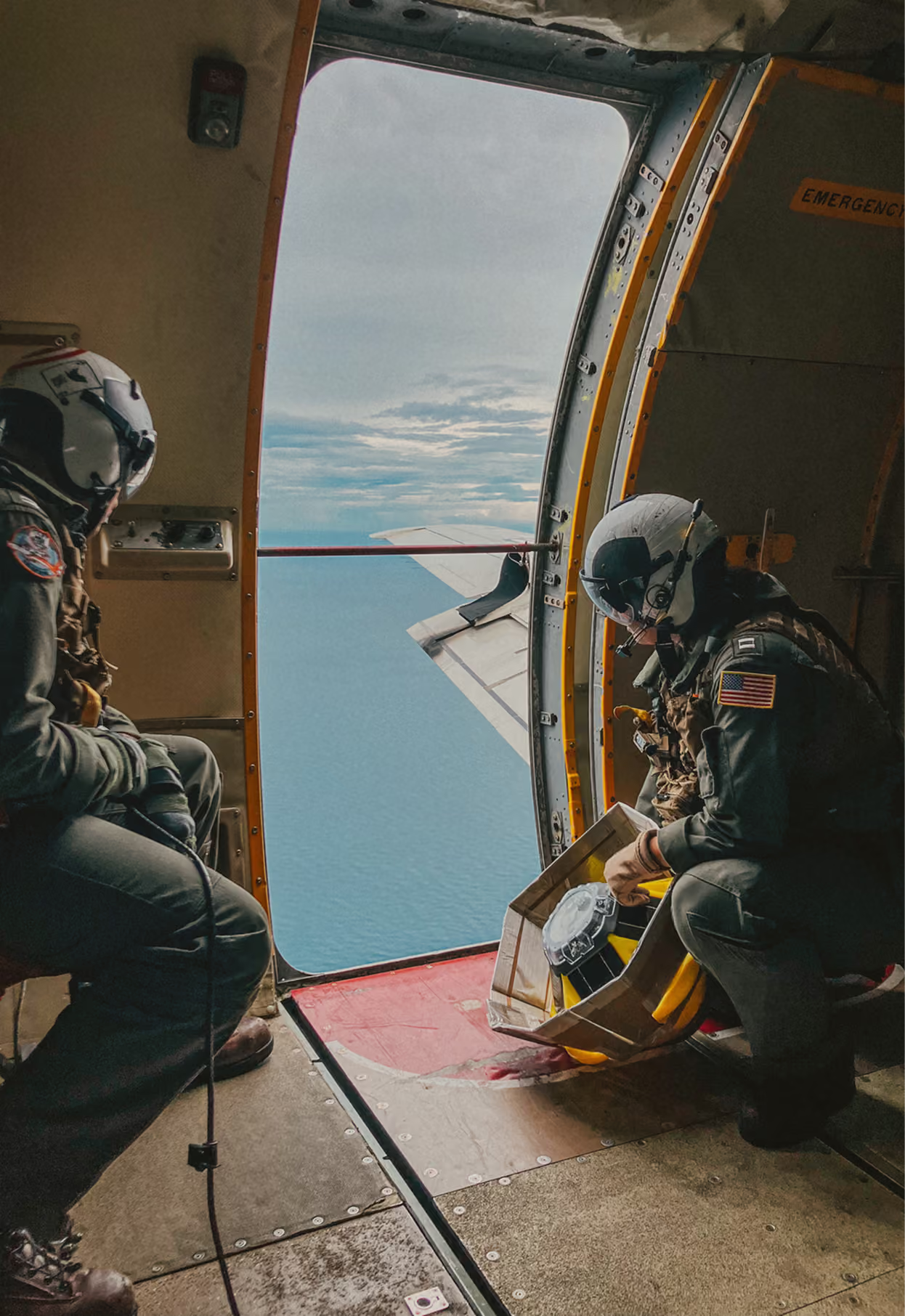
The data you need for a confident go or no-go.
Rapid deployment
Deployable by air, small vessel, or ship, and operational within minutes of hitting the water, so you get data exactly where you need it.
Persistence
Deployable by air, small vessel, or ship, and operational within minutes of hitting the water, so you get data exactly where you need it.
Surface and subsurface
Deployable by air, small vessel, or ship, and operational within minutes of hitting the water, so you get data exactly where you need it.
Around-the-clock detection
Deployable by air, small vessel, or ship, and operational within minutes of hitting the water, so you get data exactly where you need it.
Forecast accuracy
Deployable by air, small vessel, or ship, and operational within minutes of hitting the water, so you get data exactly where you need it.
Interoperability
Deployable by air, small vessel, or ship, and operational within minutes of hitting the water, so you get data exactly where you need it.