

Maritime intelligence. Built for protection and efficiency.






The largest privately-owned ocean sensor network in the world.
The data layer behind the ocean intelligence.
1.5M
Real-time observations per day
2.5K+
Spotters deployed globally
Mission-configurable ocean sensing, in real time.
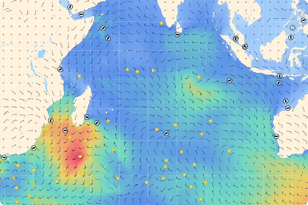
The network that powers all of Sofar's intelligence. Spotter Platform is a global network of solar-powered ocean buoys that measure wave, wind, and weather data in real time, built for governments, researchers, defense, and maritime operators who need ground truth from the ocean. The data streams back via satellite, so customers get live conditions from anywhere at sea.
Navigational support and efficiency.
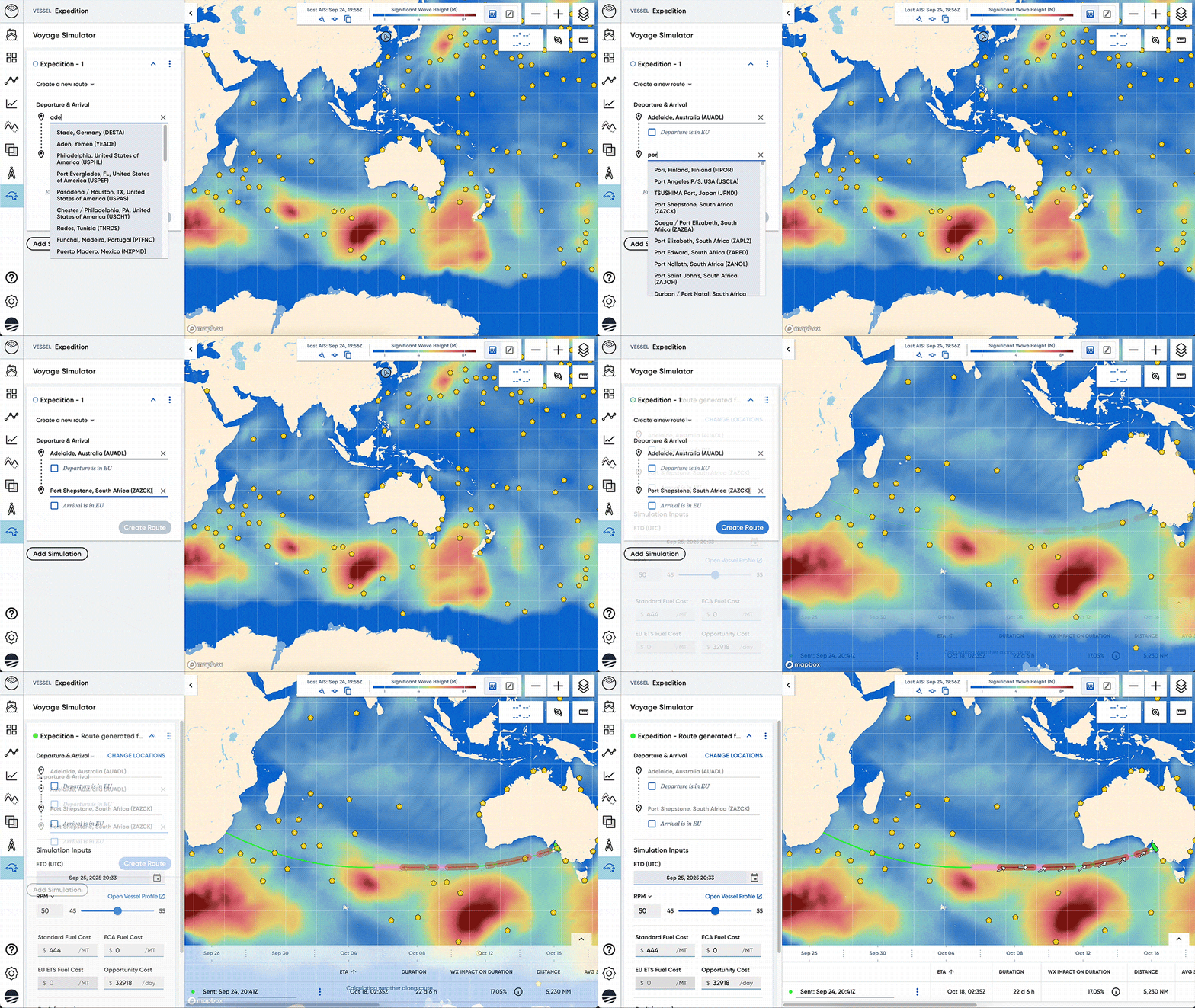
Wayfinder is voyage optimization software that recommends the best route, speed, and schedule for each voyage, built for shipping companies, fleet operators, and vessel performance managers. It combines live ocean data, vessel performance models, and commercial constraints to cut fuel use and emissions while keeping schedules on track
4–8%
Average fuel reduction
Daily
Routing & RPM guidance
Real-time
Storm warnings and seakeeping alerts
One view
Shared across ship and shoreside
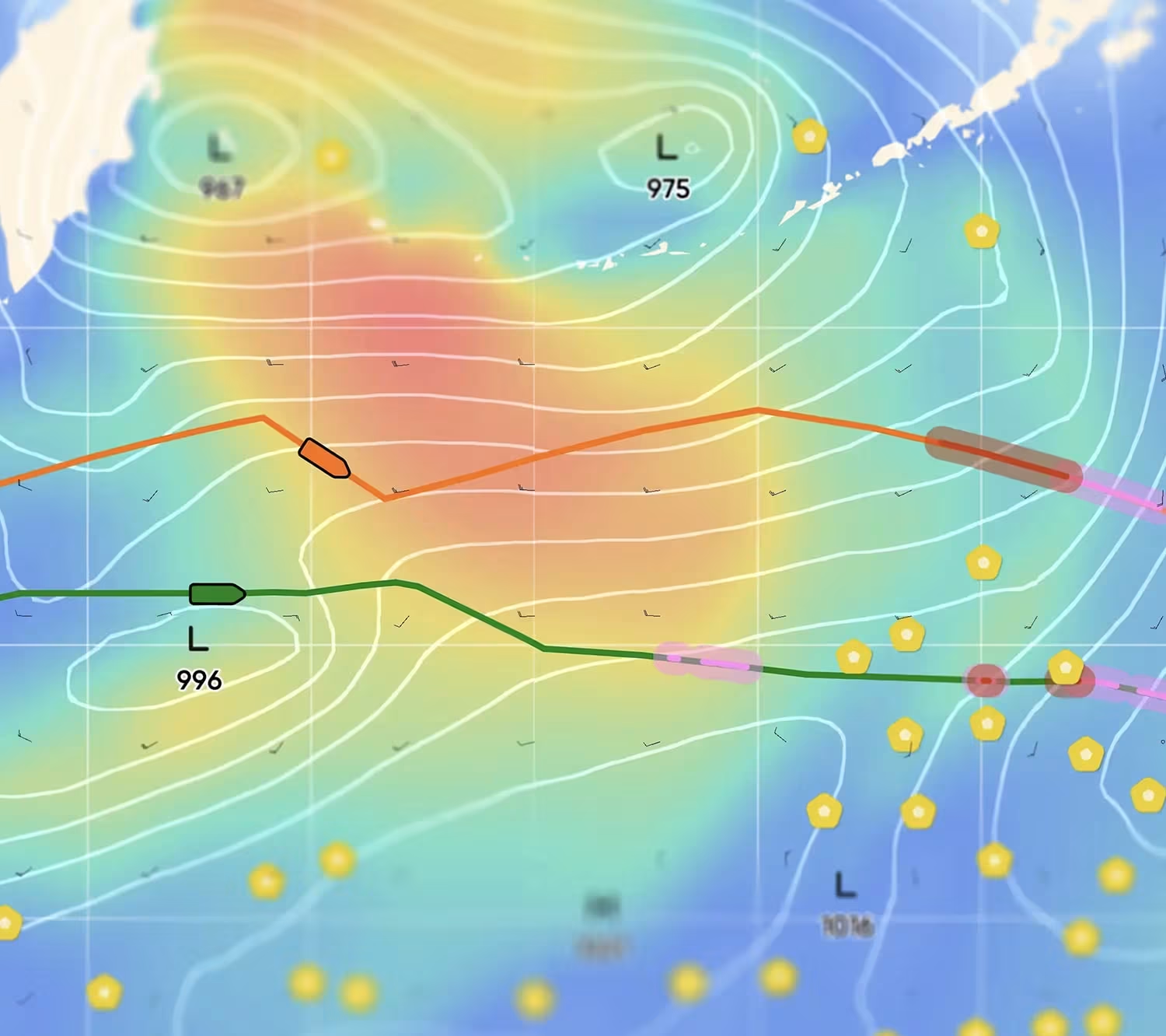
Real data. Real models. Better forecasts.
From our own sensor network, we run our own models, from global weather to hyperlocal forecasts. Trusted by NOAA, the U.S. Navy, and the world's largest shipping fleets.
50%
More accurate than traditional models.
Built for everyone operating at sea
this can be a short description lorem ipsum

Built for everyone operating at sea
.avif)
“Wayfinder's voyage guidance has become part of how our fleet is operated, day to day. The fuel and time savings are real.”
Eagle Bulk Shipping
“The forecast accuracy is what sold us. Decisions our masters used to make on instinct are now backed with data.”
MOL Group


.jpg)
.png)

