Coastal Resilience with Spotter: A Practical 101 Guide
Coastal adaptation faces many challenges but one critical barrier is localized data. Learn how continuous observations transform resilience planning from reactive to strategic.
Coastal Resilience with Spotter: A Practical 101 Guide
Dan Breyre
Coastal resilience planning, also called adaptation planning in many regions, is the process of prioritizing actions today based on how coastal hazards and baselines are changing over time. It requires knowing how waves, water levels, currents, and storms behave at the exact places where decisions must be made.
Spotter is a flexible marine sensing platform that gives you those observations in real time and over long periods, so every step from planning to operations becomes evidence-driven rather than assumption-driven. This guide shows what Spotter measures, how those measurements translate into action, and provides three concrete examples of how organizations — from government agencies to regional programs to port authorities — use Spotter to improve coastal resilience.
What Spotter Measures
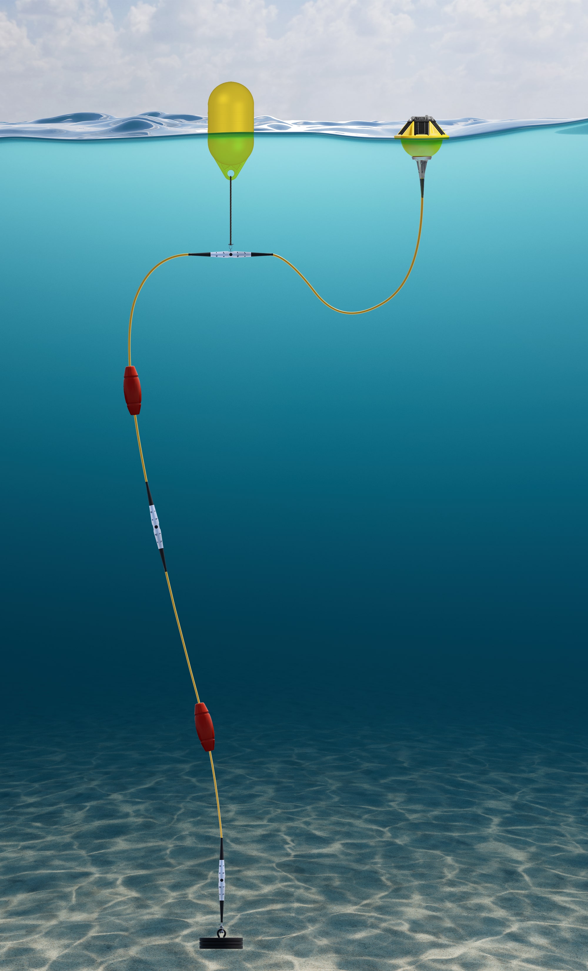
Spotter is a modular platform. The buoy provides surface measurements, and the Smart Mooring lets you add sensors below the surface. Together they co ver the key parameters needed for coastal resilience.
Spotter is also a multi-sensor platform. One Spotter system can carry several co-located, time-synced sensors on a single Smart Mooring. This means organizations can use combinations of measurements — like waves together with water level — to set thresholds and drive decisions that no single parameter could support on its own.
Surface measurements using the Spotter buoy
Waves and full directional wave spectra: Used for storm tracking, climate modeling, and wave-based thresholds.
Wind (derived from wave data): Helps characterize local storm behavior and support marine operations.
Atmospheric pressure: Supports storm tracking and more accurate water level measurements when combined with subsurface pressure.
Underwater measurements using Spotter with Smart Mooring
Water level: Tracks tides, storm surge, and coastal flood risks.
Currents: Measures subsurface flow used in dynamics modeling, operations windows, and impact assessments.
Temperature: Shows vertical stratification for marine heat stress for ecological assessments.
Water quality: Monitors ecosystem conditions and project performance.
Acoustics: Measures underwater sound for compliance and activity detection.
Adding subsurface sensors to Spotter turns one system into a full environmental station tailored to the exact needs of your site.
Spotter Smart Mooring system: from surface to seafloor monitoring
What You Can Do with Spotter
Spotter gives organizations the baseline coastal data they rarely have: local, continuous measurements collected in the same place over years. A long-term record is essential, allowing for meaningful comparison and planning across multiple storms, projects, or seasons.
Tracking how wave and water levels are changing over time at priority sites.
Updating flood and hazard maps with measured surge, wave, and water level behavior.
Setting site-specific closure thresholds for roads, beaches, and waterfront assets.
Evaluating performance of nature-based and engineered shoreline protection over multiple seasons and events.
Improving hydrodynamic and ecological models with sustained observations, not just short deployment campaigns.
Building stronger grant applications that cite local multi-year data instead of regional averages or assumptions.
And of course, this data lets organizations act on coastal hazards with local, continuous, and storm-ready information, instead of relying on sparse distant buoys, short-term surveys, or generic model outputs. Spotter provides the long-term local truth your decisions depend on.
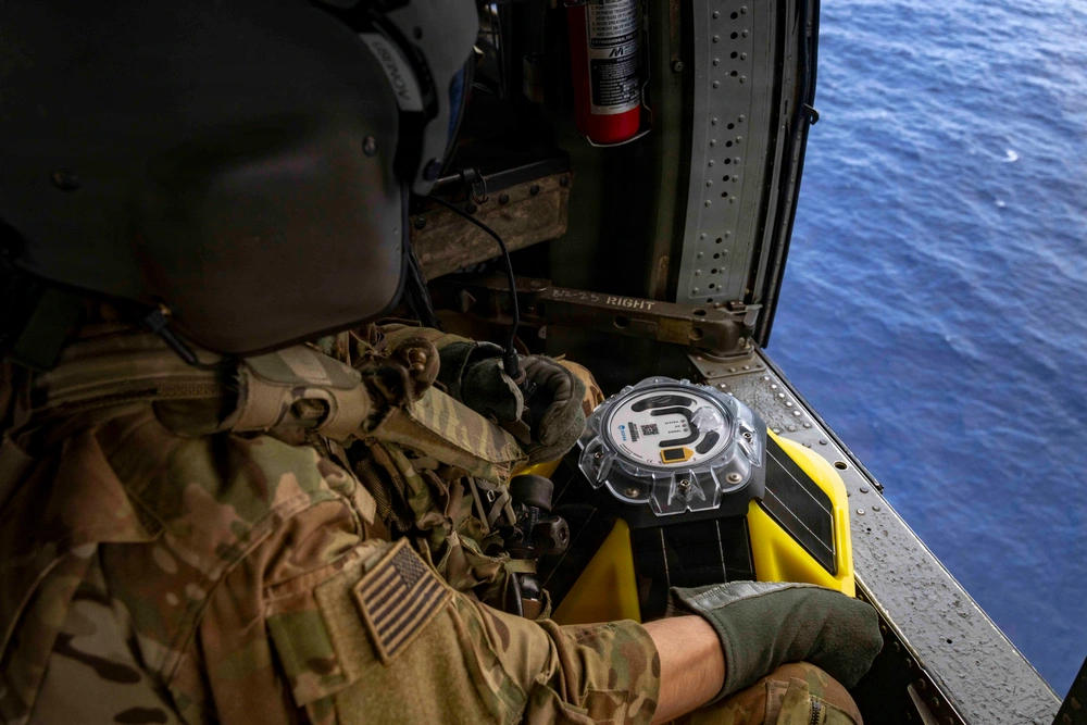
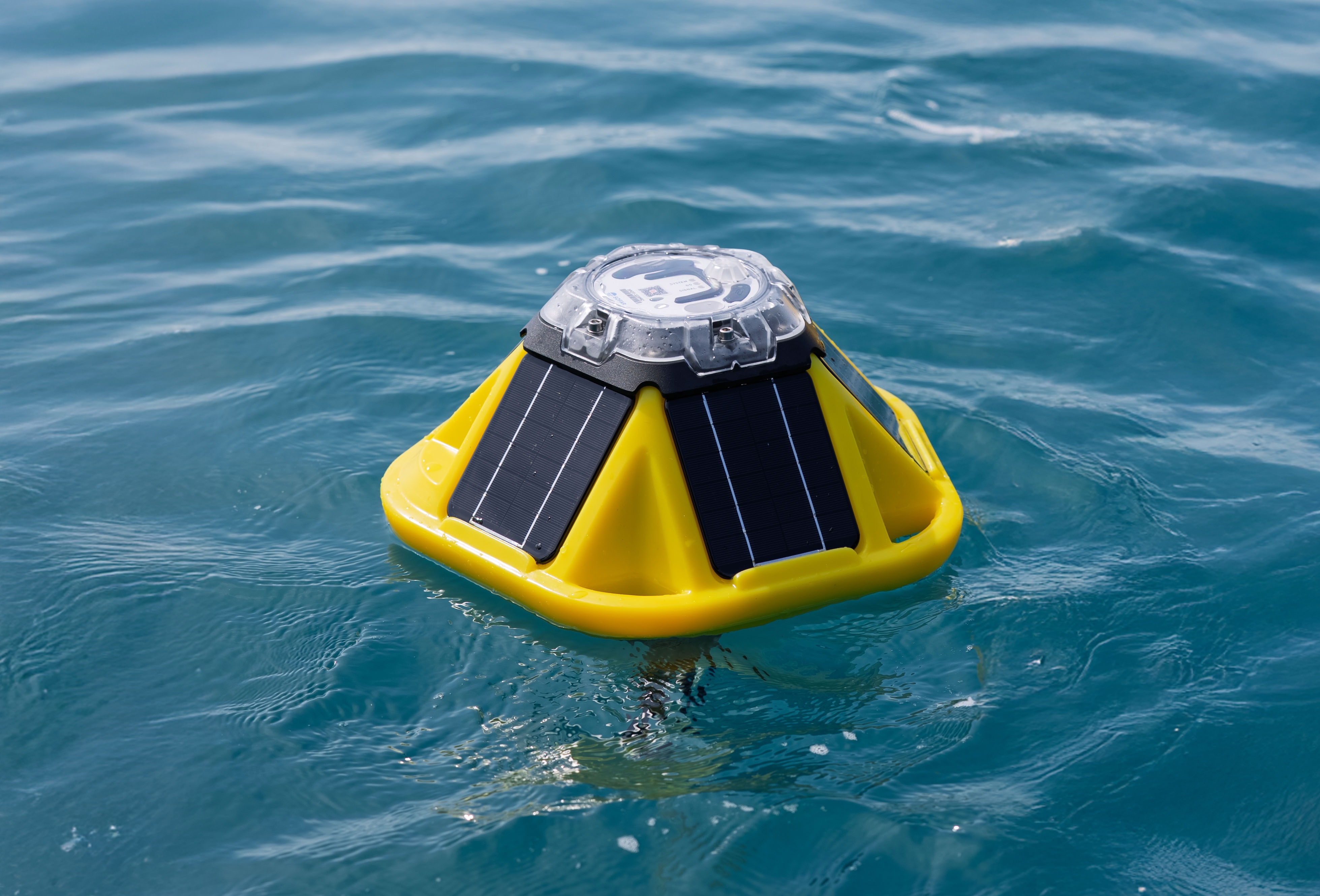
Spotter buoy deployed for continuous coastal environmental monitoring
Three Real Examples of How You Can Use Spotter for Coastal Resilience
These scenarios illustrate what organizations can achieve within one to two years using the Spotter Platform.
1. Updating Flood Maps and Freeboard Requirements
Sample Spotter setup
One Spotter measuring waves and water level at an exposed shoreline.*
One Spotter water level in a sheltered area.*
*Number of Spotters determined by actual project. You may need more Spotters to rectify spatial phenomena.
What this enables
Measure how storm tide and setup behave at different points along the coast.
Capture how offshore waves transform as they move inland.
Tune existing flood and erosion models with direct, real-time observations.
Results
Informed flood extents and elevation requirements.
Identified model bias under certain storm classes.
Stronger justification for mitigation funding because hazards are measured, not inferred.
This reduces planning risk at the foundation of every resilience decision.
2. Setting Reliable Closure Thresholds for Roads and Beaches
Spotter setup
Two Spotters measuring waves, water level, and currents at known impact sites.
One Spotter deployed offshore (to improve forecasting).
*Number of Spotters determined by actual project. You may need more Spotters to rectify spatial phenomena.
What this enables
Identify the wave and water level combinations that can cause overtopping or erosion at specific sites.
Refine alerting thresholds tied to observed site behavior.
Anticipate hazardous conditions when forecasts show incoming events that will affect the coast.
Results
Evidence-based refinement of existing closure criteria.
Fewer missed hazards and false positives.
Better public communication using objective site-specific data.
This reduces operational confusion and supports transparent decision making.
3. Measuring the Performance of Nature-Based Shoreline Projects
Spotter setup
One Spotter measuring waves, currents, and water quality seaward of a project.
One Spotter inside the protected zone.
*Number of Spotters determined by actual project. You may need more Spotters to rectify spatial phenomena.
What this enables
Relative wave energy comparisons inside and outside the project.
Track changes in sediment transport and current patterns around the site.
Monitor ecological indicators like oxygen and temperature inside the protected area.
Results
Supporting hydrodynamic and long-term environmental context for project monitoring.
Measured performance during failure modes and extreme events that strengthens permitting, renewal, and future funding.
A clear basis for scaling, modifying, or replicating restoration work.
This gives you long-term insight into whether adaptation investments are working.
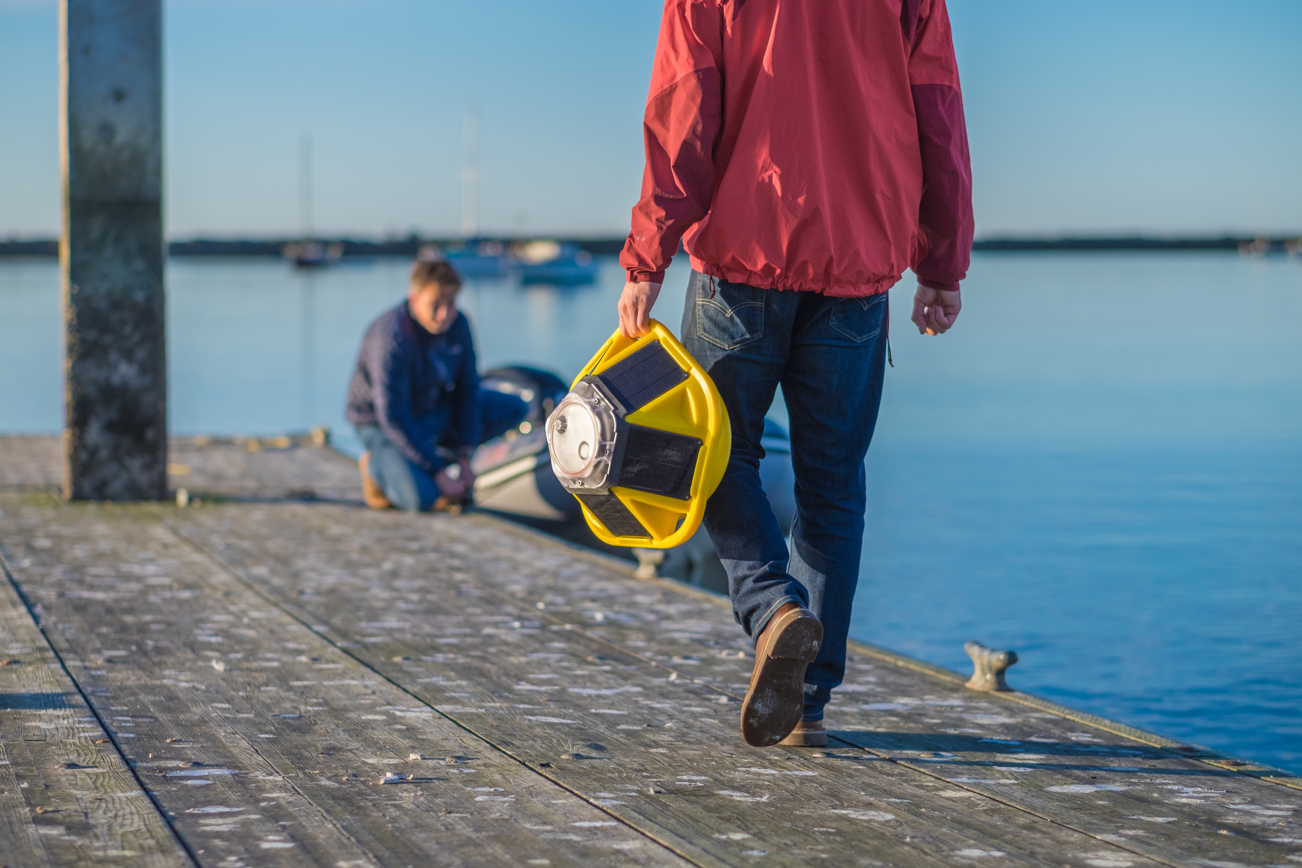
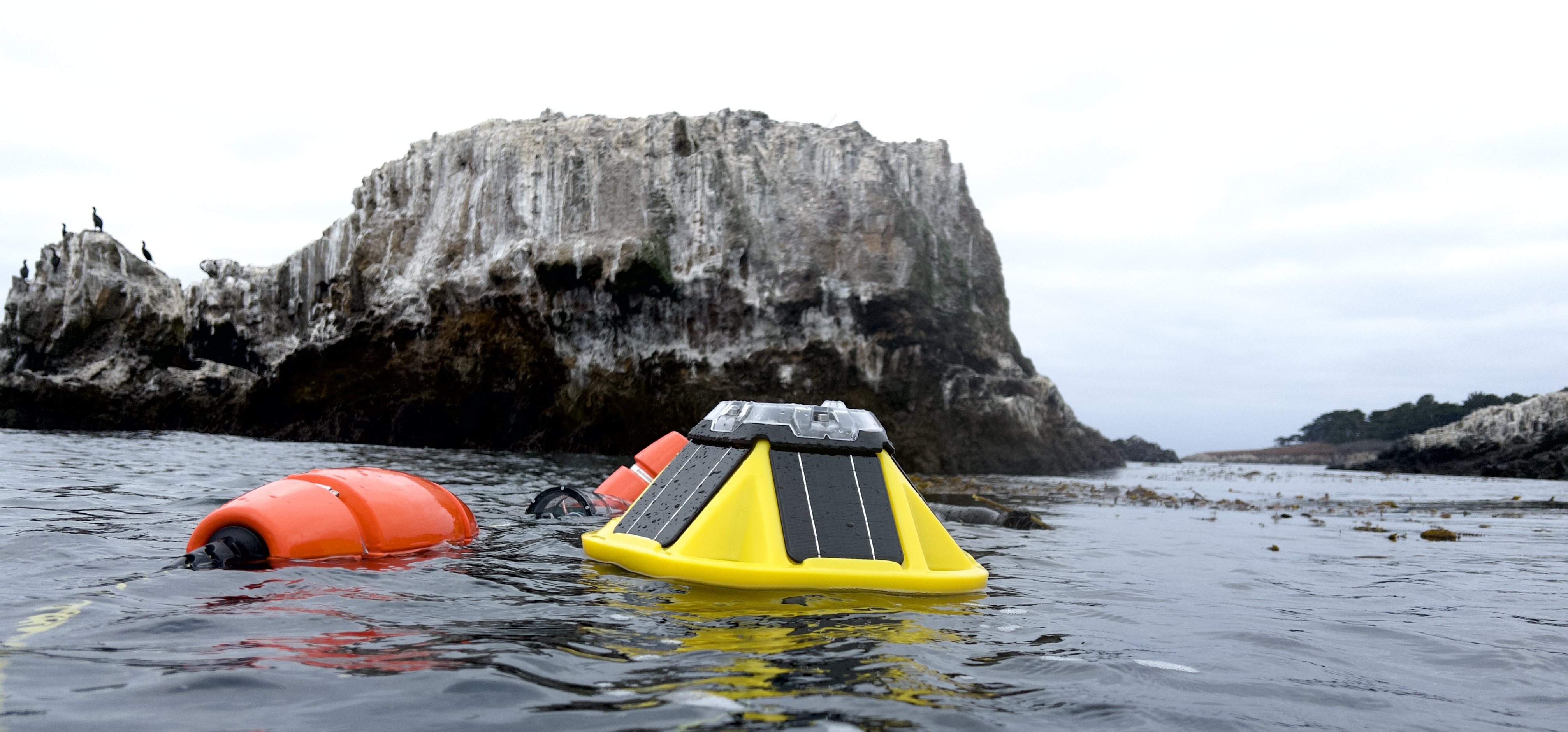
Spotter Platform deployed for long-term coastal observation and resilience monitoring
How Coastal Authorities and Regional Programs Can Use the Spotter Platform
Coastal authorities and regional programs are often responsible for turning national policies and funding streams into on-the-ground projects. Spotter helps connect ocean conditions to those policy and investment decisions with localized, continuous measurements.
Improve regional hazard and flood mapping: Use Spotter observations at strategically selected reference sites to evaluate and document uncertainty in surge, wave, and erosion assumptions used in statewide mapping and guidance.
Prioritize and score resilience projects: Incorporate Spotter-derived exposure data with hazards, socioeconomic information, and local knowledge to inform grants and technical assistance prioritization, especially for communities with limited local monitoring capacity.
Support permitting and project reviews: Use measured waves, water levels, currents, and water quality to inform whether proposed projects are sized appropriately, likely to perform as claimed, and consistent with coastal policies.
Track performance of publicly-funded projects: Deploy Spotters at sites that receive funds to monitor performance over the full project life, building an evidence base that informs future program design.
With a network of well-placed Spotters, a coastal program can strengthen its observational foundation to inform policy, guidance, and funding decisions.
How Port Authorities Use Spotter
Port authorities need to keep operations safe and efficient while facing increasing coastal and climate pressures. Spotter helps ports manage day-to-day marine operations and long-term resilience planning using one unified platform.
Support navigation and berthing decisions: Use real-time wave and water level data at harbor entrances, channels, and berths to inform pilotage, tug use, and berth availability when conditions are marginal.
Define and refine operational thresholds: Support environmentally-informed refinement of locally applied operational guidance for crane operations, vessel movements, small craft access, and terminal closures.
Plan and test infrastructure upgrades: Use Spotter data to inform design planning for breakwaters, quay walls, and access roads, then verify how these structures perform during actual storm conditions post-construction.
Monitor sediment and dredging needs: Combine current and turbidity measurements to understand plume generation and patterns of sediment transport to inform dredging schedules and optimize operating windows more efficiently.
Integrate environmental and regulatory monitoring: Add water quality and acoustic sensors where needed to track environmental performance and comply with permit conditions, habitat projects, and community expectations.
For ports, Spotter provides a shared observational foundation that serves both operations and planning, so short-term decisions and long-term investments are guided by the same measurements.
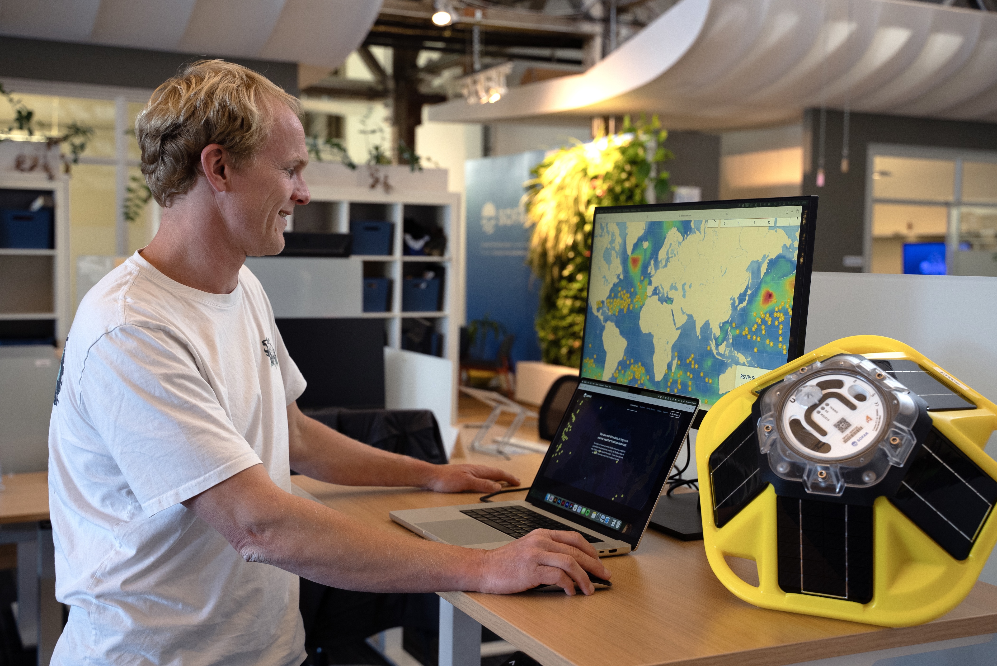
Port operations team analyzing real-time Spotter ocean monitoring data
Why Choose Spotter
Government agencies are expected to make long-horizon coastal decisions, but they rarely have long-horizon, localized data. Spotter closes that gap without creating a new operational burden, which is why it fits so well in public sector coastal resilience work. The Spotter Platform provides:
Local data where decisions happen: Measurements come from the exact shorelines, channels, and project sites you care about, not a buoy far offshore or a short one-time survey.
Baseline records for long-term planning: Continuous, multi-year time series of waves, water levels, currents, and water quality turn individual storms and seasons into trends you can analyze and plan around.
High reliability during important events: Spotter is designed to keep sending data when conditions are rough, so the same system that builds your baseline also captures the events that test your designs and plans.
Flexible sensor configurations on a single, multi-sensor platform: The same Spotter can carry different combinations of sensors over time. You can start by measuring waves and water level, then add currents or water quality as projects evolve, without buying and learning a new system.
Easy deployment and low maintenance: Spotter is small and lightweight, so field teams can deploy it from small boats or by hand, with minimal specialized equipment. Long battery life and robust hardware keep maintenance cycles manageable for lean public agencies.
Adaptable to multiple programs and mandates: A state coastal program can use Spotter for hazard mapping, while a port uses it for operations, and a local government uses it for living shoreline performance. Three different stakeholders all using the same platform configured differently at each site.
More affordable than traditional monitoring approaches: Smaller hardware, simpler logistics, and integrated communications reduce the need for large vessels, divers, and frequent redeployments. Agencies can cover more sites within the same budget, which improves spatial coverage and data quality.
A cloud platform for real-time access, alerts, and historical analysis: Data streams into a shared workspace where staff, partners, and collaborators can view conditions, download records, trigger alerts, and integrate observations into models and reports.
Most importantly, Spotter turns uncertain coastal questions into measurable ones. That clarity supports better planning, better models, better projects, and better outcomes for communities.
Get in touch with our team to learn more about how you can use Spotter for your use case.
Coastal Resilience with Spotter: A Practical 101 Guide
January 23, 2026
Coastal adaptation faces many challenges but one critical barrier is localized data. Learn how continuous observations transform resilience planning from reactive to strategic.
Related Stories
Customer Stories
March 11, 2019
Spotter improves marine forecasts in Fiji
Ocean Science
May 17, 2024
Spotter Platform outperforms peer wave buoys in independent field comparison
Customer Stories
February 24, 2021
How the University of Tokyo Measures Arctic Sea-Ice Interactions with Spotters
Sofar in the News
Customer Stories
July 29, 2026
How Aqualink built the world's largest real-time coral reef monitoring network


.png)