
This blog was written by Captain Tobias Ramalho, Patricia Puhl, Vanessa Bach, and Felippe Galdino of the Brazilian Navy.
We’re excited to share a report directly from Captain Tobias Ramalho of the Brazilian Navy. Capt. Ramalho and the Brazilian Navy chose Sofar Ocean as its connected-sensor partner to meet the operational and monitoring needs in the South Atlantic Ocean, Southern Ocean, and Antarctic region.
With its proven reliability, accuracy and well-established scientific credentials the Spotter buoy from Sofar Ocean provides the Brazilian Navy with the ability to operate at high-latitude regions that receive very little sunlight, while providing 2-way communication via its built-in satellite modem.
To learn more about the project and read updates visit their project page (in Portuguese).
Authors: Capt. Tobias Ramalho, Patricia Puhl, Vanessa Bach, and Felippe Galdino, Brazilian Navy.
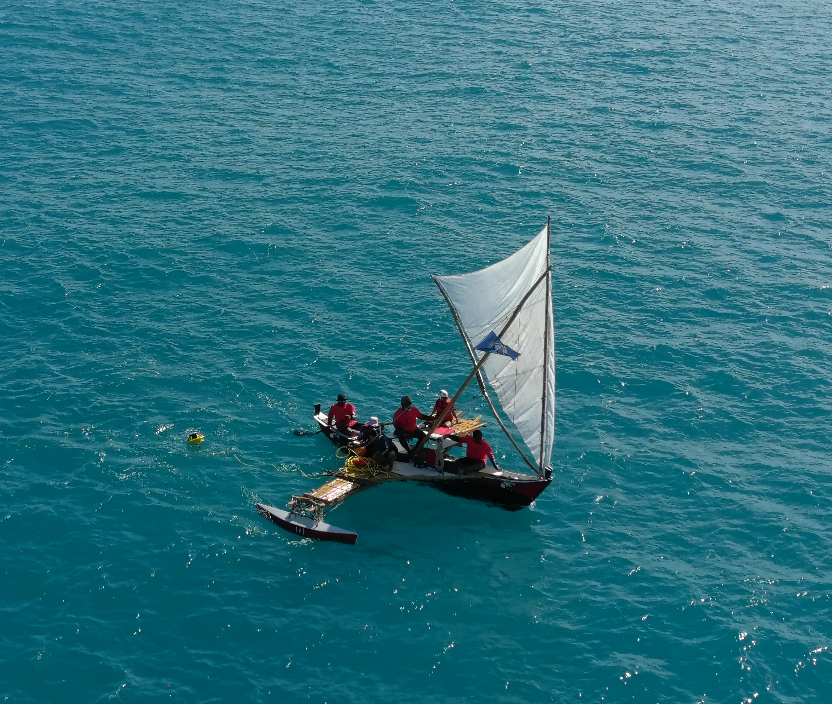
In December 2020, the Brazilian Navy Polar Ship “Almirante Maximiano”, of the Directorate of Hydrography and Navigation (DHN), deployed a Spotter buoy, moored in the vicinity of the Comandante Ferraz Antarctic Station (EACF), at geographic coordinates 62° 12' 34.258" S and 58° 16' 48.180" W and depth of 46 meters. This buoy is part of the REMO Observacional project, of the Brazilian Navy Hydrography Center (CHM) with PETROBRAS. This project aims to manage a network of weather buoys in support of the South Atlantic forecasting systems, as well as to support PETROBRAS offshore activities.


This is a broad project, which also contemplates the following objectives:
- development of a weather buoy with Brazilian technology
- validation of a national wave measurement system
- construction of a system for monitoring vandalism in buoys using cameras
- development of a low-cost Brazilian wave sensor network, the data collection in extreme event regions
- design of a glider monitoring network for the Brazilian coast

As it is a research and development project with a bias in studies of new technologies in the South Atlantic, it was seen that the use of Spotter V-2 would be a great opportunity for the Brazilian Navy and PETROBRAS to expand their research areas to Antarctica. The deployment site for the buoy was chosen for sampling of the wave and wind systems acting at the entrance of the Admiralty Bay, on King George Island, and on the Bransfield channel. As the data is available in real time to the Polar Ships and to the EACF, this buoy is providing essential information to support the Brazilian Navy operations in the region, considering that the wave and wind numerical models do not have a reasonable resolution.
CHM is responsible for generating weather forecasts for the Antarctic region, in support of Naval Operations for Brazilian Navy Ships and EACF. In this context, CHM uses the ICON wind model for this location. The output data from ICON was used as a forcing parameter for Wave Watch III (WWIII) wave model. Initial comparisons between WWIII showed that, although the model presents a trend very close to buoy data in the region, it is possible to observe at times that it overestimates and underestimates wave heights. In the case of wind data, most of the time ICON model has higher intensities than data collected by Spotter buoy. These results show the importance of having a data collection platform in the Antarctic, as the results of numerical models do not always reflect reality.

Another factor that corroborates with the importance of having a data collection platform in Antarctica was what happened shortly after the deployment of Spotter. The Navy Polar Ship weather station measured winds of 40 knots, with gusts of 69 knots. Such conditions are considered extreme, even for Antarctica. As a consequence, the Spotter V-2 moved from the original mooring position. For a future deployment, the mooring system must be redesigned in order to adapt to extreme conditions that may occur in Antarctica, ensuring historical wave and wind data of great importance for the activities of Brazilian Navy in the region.
This was one of the first instances of a buoy being deployed in the Antarctic region and with the data made free and accessible to the scientific community. The data is transmitted to Brazilian Marine Meteorological Service in real time, and the scientific community can access quality-controlled output at www.marinha.mil.br/chm/dados-do-goos-brasil/pnboia-mapa.
Project Update (04/07/22): In the new educational video below shared with Sofar by our partners at INPE, watch as a Spotter is deployed in the Southern Ocean near the Antarctic Peninsula. For more educational content, check out other videos from the series here and here.


.jpg)
%20(1).avif)