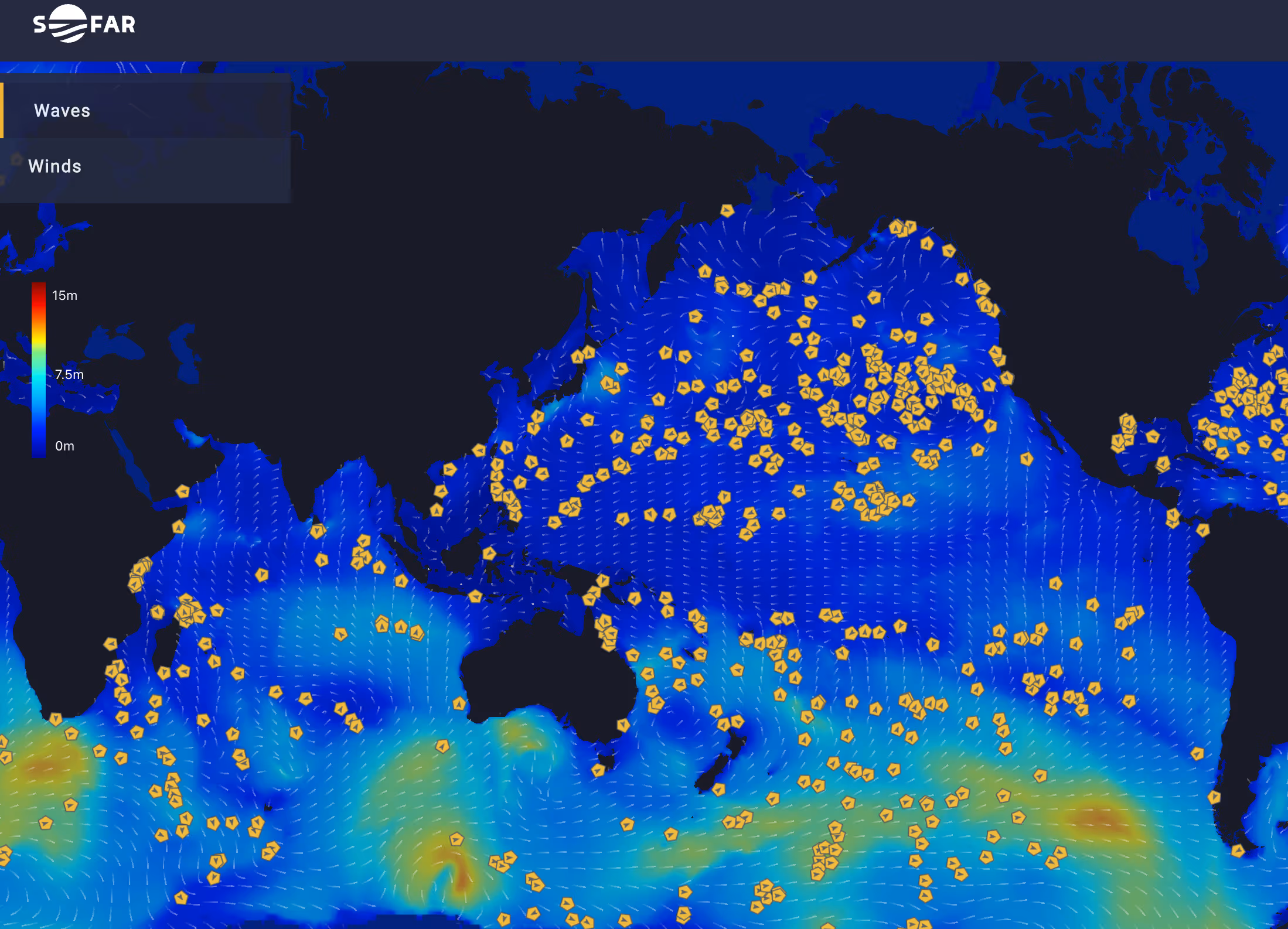
Wayfinder is a dynamic voyage guidance system that continuously provides vessels with the most optimized speed and routes possible. One of the primary variables that Wayfinder takes into account when charting the optimal course for operators and crew is the weather. To identify the least weather-restricted path to port, Wayfinder leverages our highly accurate forecasts, which assimilate real-time ocean observations from our network of Spotter buoys and are 40% more accurate than forecasts from leading government centers.
To showcase how Wayfinder uses these weather forecasts to inform proactive routing recommendations, we analyzed a voyage between Singapore and South Africa that encountered a tropical cyclone.
In the following example voyage (Figure 1), the vessel’s initial course from Singapore to South Africa follows the great circle route, the shortest total distance between ports. In a world without waves, currents, storms, etc., this route would be optimal. All voyages, however, are affected by weather, and this route is no different. Early in the voyage, Wayfinder forecasts that the vessel will encounter strong winds and large waves caused by Tropical Cyclone Karim. Based on this forecast, Wayfinder issues the following guidance aimed at early storm avoidance:
Although the optimized route adds distance to the ship’s journey, it does so to trade stormy seas for calm seas; like a car taking a detour around traffic, the vessel loses ground in the short term to gain ground in the long term. Additionally, by following the less weather-restricted route, the vessel’s exposure to roll risk decreases, a boon to the crew’s safety.
Wayfinder’s optimized route also takes into account favorable ocean currents. In Figure 2, the initial great circle route charts a course through the South Indian Ocean, but doesn’t take advantage of the fast-moving Agulhas Current, which runs along the southeastern coast of Africa. Wayfinder’s optimized route leverages the Agulhas towards the end of the voyage, increasing the vessel’s speed and saving fuel as it nears Cape Town.

Highly accurate weather forecasts that assimilate real-time ocean observations are a key input powering Wayfinder’s timely route recommendations. By staying one step ahead of inclement weather, operators can avoid slowdowns, keep crews safe, and find favorable conditions, like currents, to leverage.
To learn more about Wayfinder, visit our Wayfinder page. To schedule a demo with our Wayfinder team, please fill out this short form.