The ocean is highly dynamic and deeply interconnected. Physical, chemical, and biological processes influence each other across long timescales. To understand, and ultimately impact, such a vast and constantly changing environment, we need an equally vast and consistent supply of data.
Unfortunately that data doesn’t exist yet. To characterize ocean complexity, we need simultaneous, in-situ measurements that can be correlated and interpreted together. And collecting those measurements at scale is where most programs run into trouble.
Every time you add “just one more sensor,” you also add power requirements, integration work, maintenance planning, and downstream data wrangling. Too often, the result is a patchwork of instruments and disconnected datasets that are difficult to scale and even harder to operate reliably.
As the Head of Spotter Product, I often work with incredible teams who spend far too much time preparing and stitching together their data and not enough time being able to act on it.
Single-sensor deployments are useful for baseline environmental measurements or regulatory compliance. But the moment your question becomes “why is this happening?” or “what will happen next?” a single measurement falls short.
Take for example harmful algal bloom (HAB) forecasting. Chlorophyll-a may help detect early formations, but without environmental drivers like photosynthetically active radiation (PAR), dissolved oxygen (DO), and temperature, it’s difficult to determine why or how the bloom is accelerating. Without surface waves, wind, and subsurface currents, you can’t predict where the bloom will move.
More sensors unlock richer insight, but also create more operational burden. And deeper insight shouldn’t require a fresh engineering effort every time you scale a program.
Across use cases, most teams run into the same constraints. They know what they need to measure but making it affordable, scalable, and operationally realistic is the hard part. That’s a big reason the ocean data gap persists.
A single marine-grade sensor isn’t cheap, and a few of them can easily exceed a budget. Add the specialized engineering required to make power, connectors, communications protocols, and environmental tolerances work together and it becomes prohibitively expensive.
Choosing between “a little data now” and “a lot of data later” is one of the hardest tradeoffs in oceanography. Satellite transmission is pricey, so teams often throttle sampling just to stay within budget. Self-logging instruments avoid those telemetry costs, but they delay analysis and require vessel time for recovery and redeployment.
Even after the data is collected, someone still has to spend an excruciating amount of time extracting, aligning, QC’ing, interpreting, and merging it. And because every deployment uses a different sensor configuration, this becomes bespoke work that doesn’t scale.
Sensor fusion offers a path out of this complexity. It is the process of combining measurements from multiple in-situ sensors at the edge to produce a more complete, accurate, and meaningful view of the ocean environment. Instead of treating each instrument as an isolated stream, sensor fusion integrates and interprets data collectively on-site.
Just as important:
Done well, sensor fusion minimizes one-off integrations, reduces telemetry loads, and simplifies everything downstream. The goal isn’t “more data” — it’s better, faster, decision-ready outputs.
Sensor fusion delivers value in three compounding ways:
Once enriched and quality-controlled, fused measurements enable true edge intelligence.
More accurate measurements and faster local decisioning make it possible to scale programs efficiently by investing in:
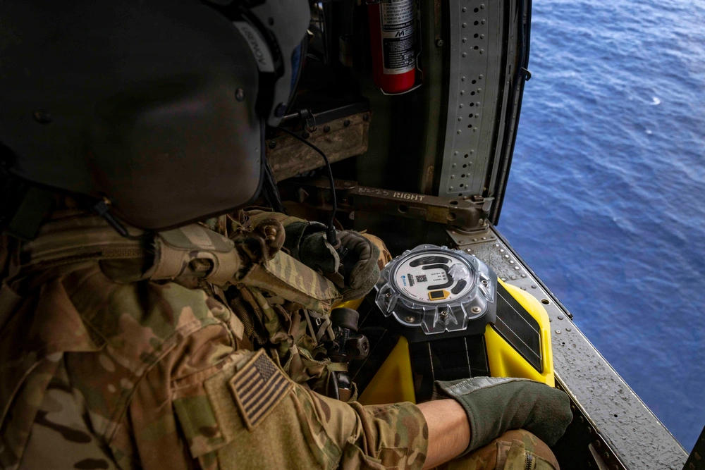
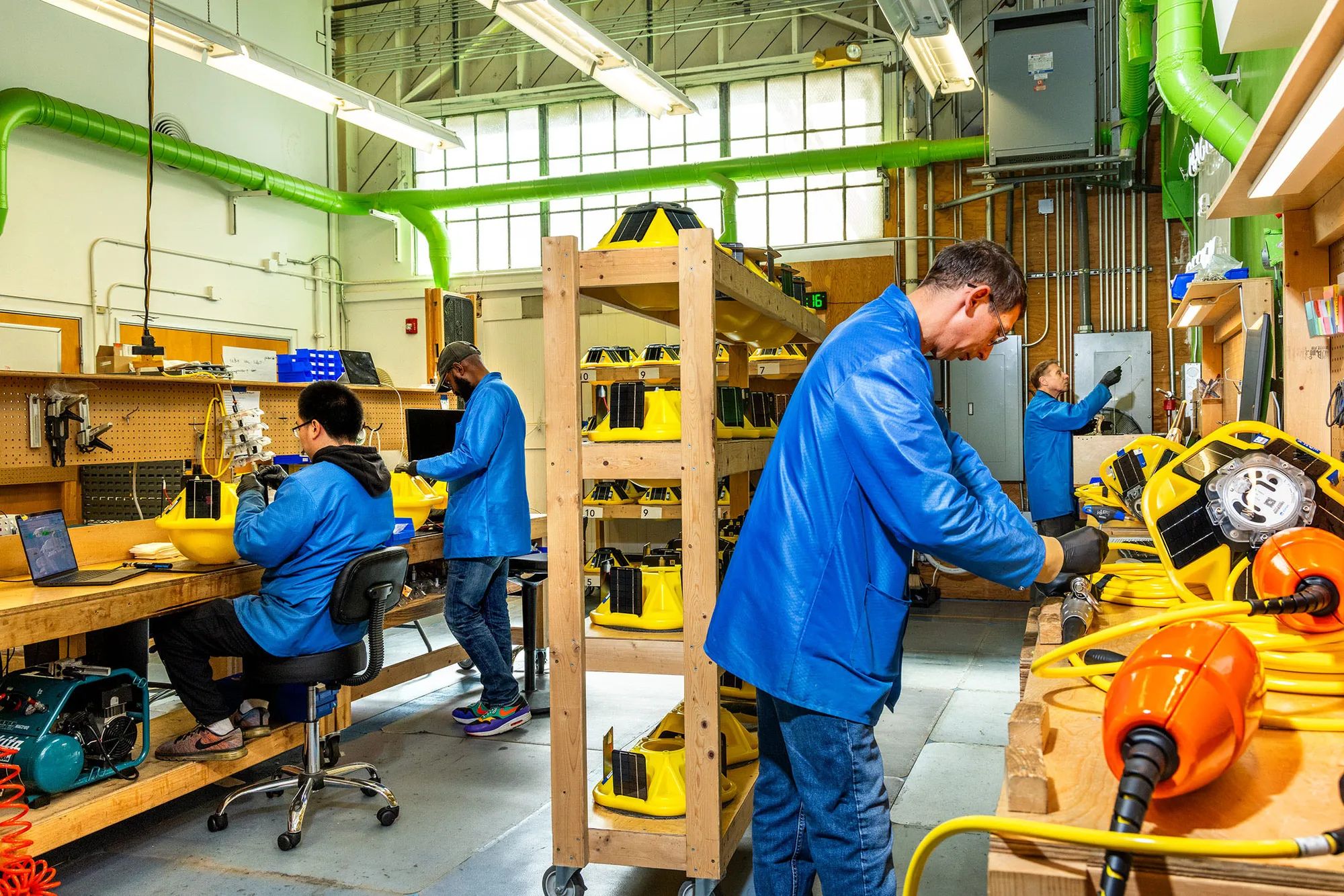
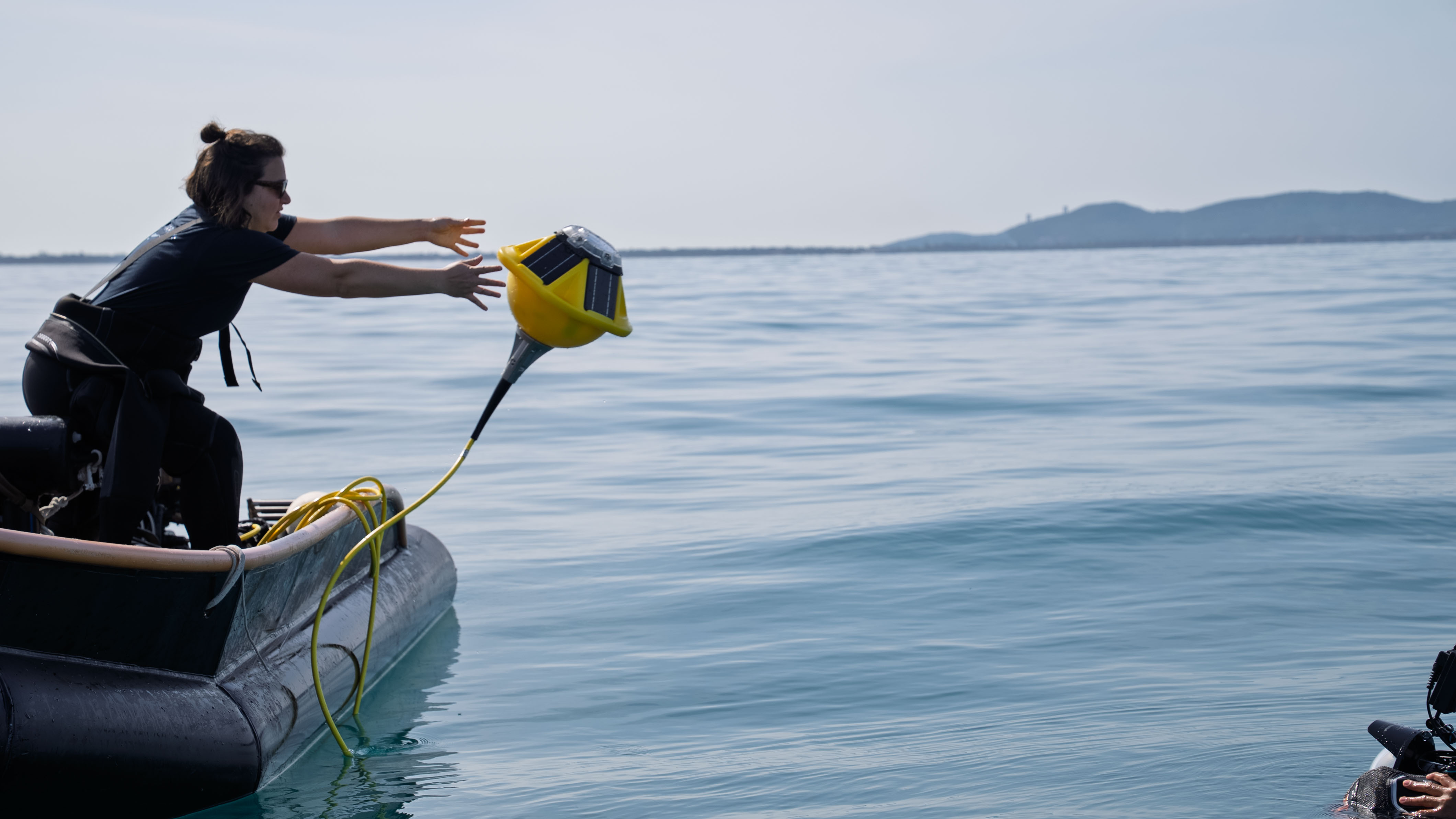
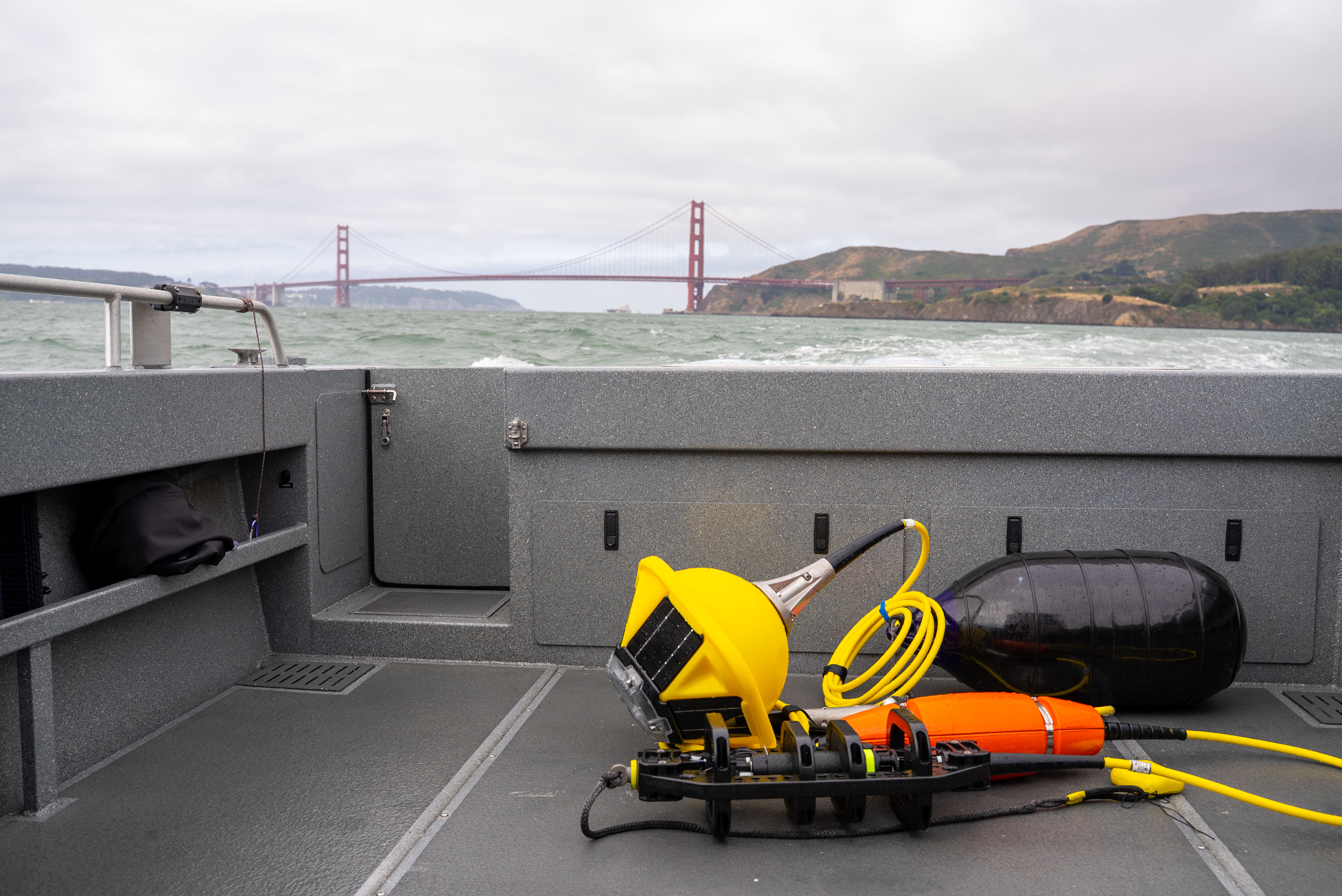
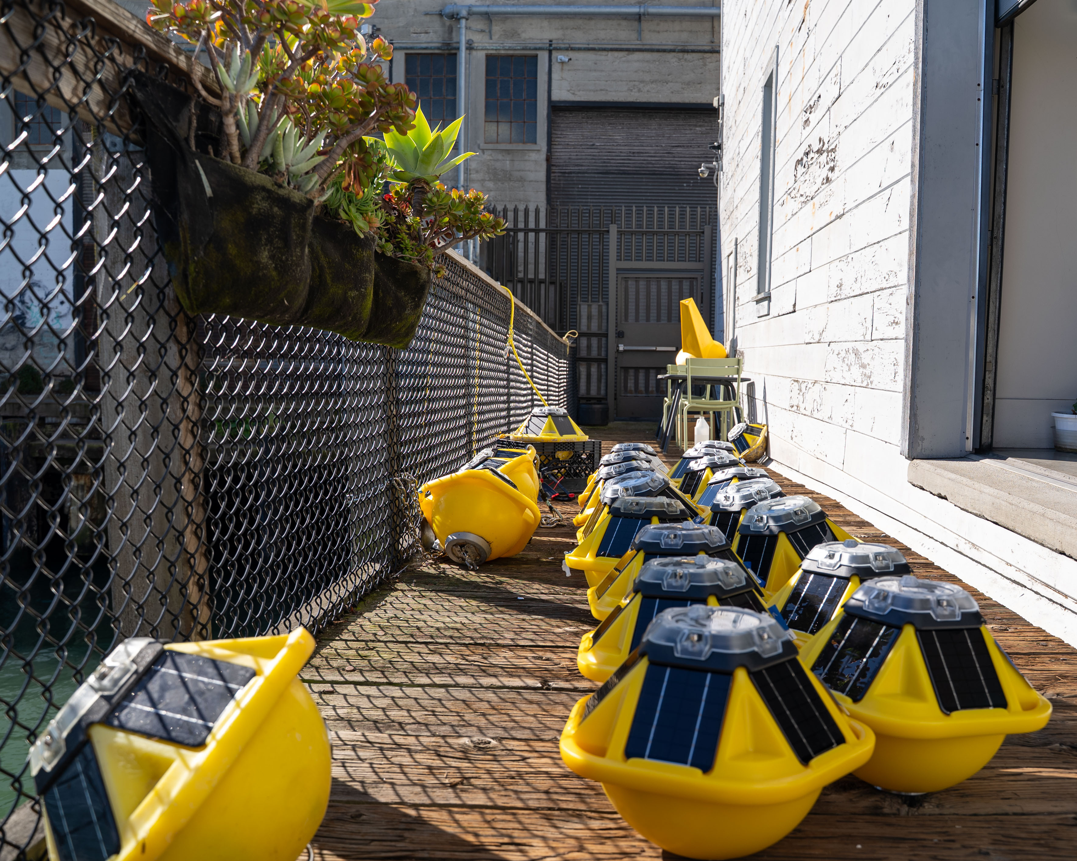
This is where the Spotter Platform comes in. Spotter is a modular, rapidly deployable marine sensing platform that delivers real-time surface and subsurface data. It already provides core metocean information that many programs rely on, and it’s designed to support an expanding ecosystem of payloads rather than a single fixed configuration. This platform approach matters because it lets you add sensors and modify use cases without rebuilding the system's architecture each time.
For example, connecting a Bristlemouth-enabled Salinity Sensor to Spotter Sound allows the hydrophone to automatically compensate for real-time acoustic velocity, improving detection accuracy without any manual intervention. That kind of edge-level intelligence cuts down telemetry bandwidth and shortens the path from measurement to insight.
In practice, that means:
Sensor fusion is the discipline that turns these traits into real, repeatable customer value.
If you’re evaluating using Sensor Fusion for a project, here are the questions you need to ask:
The ocean data gap is narrowing as monitoring shifts from isolated deployments to intelligent networks of systems. By co-locating and combining measurements at the edge, we can transform stale isolated observations into real-time actionable local insights.
This is why we at Sofar have made sensor fusion fundamental to our extensible Spotter Platform approach. It allows teams to capture what they need today and grow into the future without reinventing their workflows every time they add another sensor.


.avif)
.png)