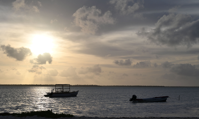
For Pacific Island nations on the front lines of climate change, access to real-time ocean data is critical. It determines whether fishermen venture into dangerous waters, whether coastal communities receive storm warnings in time, and whether forecasts reflect actual conditions or guesswork.
Kiribati and Samoa exemplify why ocean intelligence matters. Kiribati primarily sits less than two meters above sea level, leaving communities exposed to coastal flooding, saltwater intrusion, and sea level rise. Samoa faces coastal erosion, increasingly intense cyclones, and changing rainfall patterns, with roughly 70% of its population and infrastructure located in low-lying coastal areas.
Sofar is partnering with the Secretariat of the Pacific Regional Environment Programme (SPREP) to deploy 20 Spotter Platforms — 10 in Kiribati and 10 in Samoa — that will deliver real-time ocean data to the coastal communities that need it most. This effort is part of the European Union-funded ClimSA Pacific programme, implemented by SPREP in partnership with Kiribati Meteorological Services and Samoa Meteorological Services.
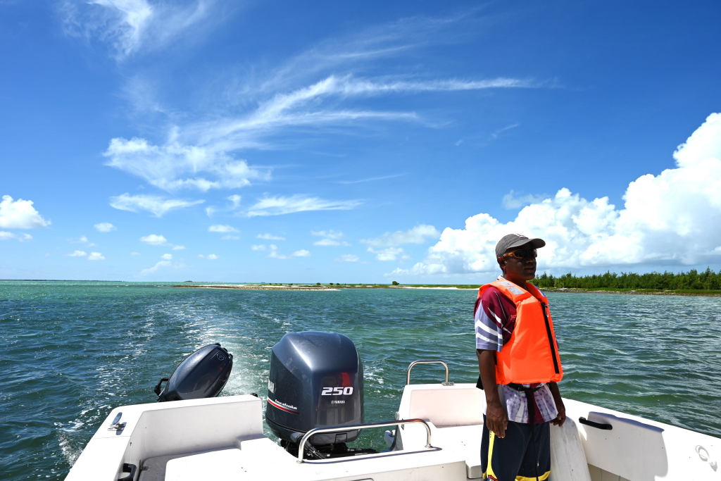
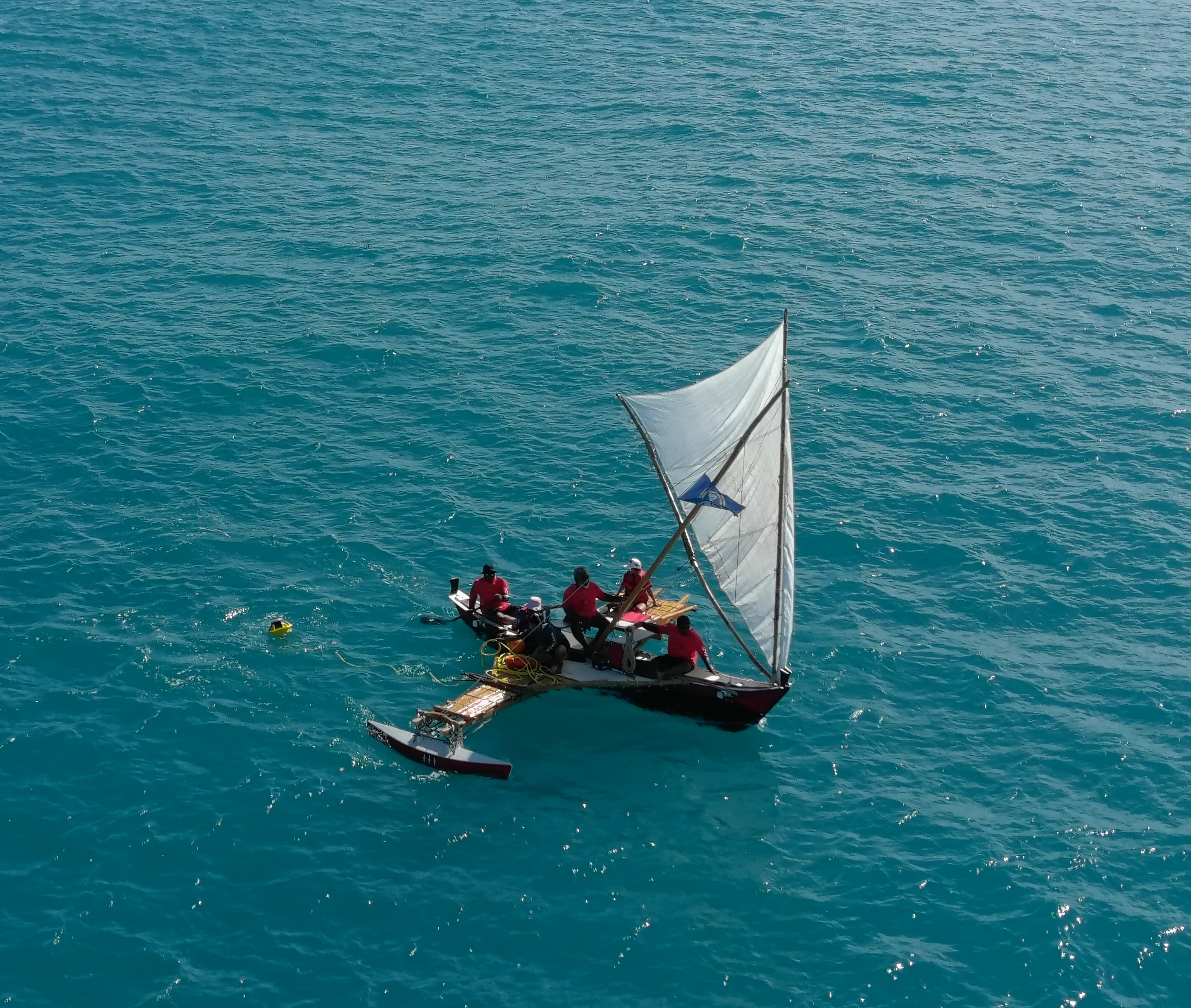
The 20 Spotters heading to Kiribati and Samoa are compact, solar-powered platforms that transmit data in real time via satellite. At the surface, they measure waves, sea surface temperature, wind, and atmospheric pressure; below the surface, they can capture currents, temperature, pressure, and other critical underwater variables. Kiribati Meteorological Services and Samoa Meteorological Services will deploy the Spotters in strategic locations and integrate the data directly into national forecasts and early warning systems. Historically, both countries have had limited access to in-situ ocean data, creating critical observational gaps in the regional models that coastal communities depend on.
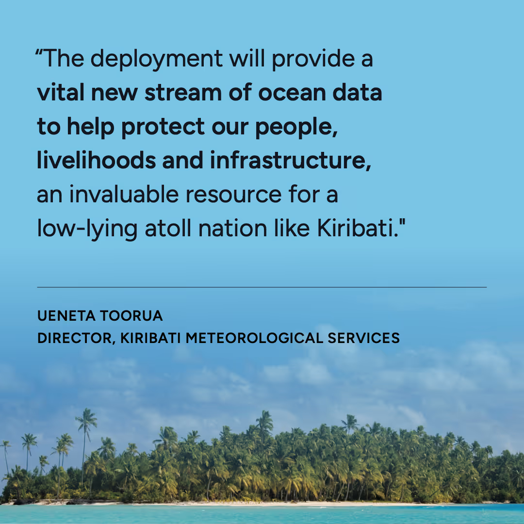
"The deployment will provide a vital new stream of ocean data to help protect our people, livelihoods and infrastructure, an invaluable resource for a low-lying atoll nation like Kiribati," said Ueneta Toorua, Director of Kiribati Meteorological Services. "Beyond the physical loss of land, coastal flooding weakens Kiribati's economy through several interconnected channels that hit incomes, public finances and long term development. These ocean monitoring buoys will support our national development planning in years to come."
Data from the networks will support safer maritime transport, fisheries operations, tourism planning, and disaster risk reduction for Kiribati and Samoa, which are already contending with extreme wave events and coastal flooding.
The deployments in Kiribati and Samoa are not standalone interventions. They are part of a broader initiative to build a Pacific ocean observing network capable of turning climate science into actionable ocean insights that power resilience efforts.
ClimSA Pacific is a five-year project, with Kiribati and Samoa acting as pilot countries. The program plans to expand across the region and help Pacific Island nations strengthen their entire climate services value chain, from observations and data collection to tailored information and decision support tools.
In Kiribati and Samoa, national climate service systems are already in development, with Samoa in the implementation phase. The deployment of Spotter Platforms will add a critical new component to these systems, putting real-time ocean observations at the center of efforts to build climate resilience and protect coastal communities.
For more information, check out SPREP's press release. To learn more about Spotter, connect with our team or start designing your own Spotter network today.


.avif)


.jpg)