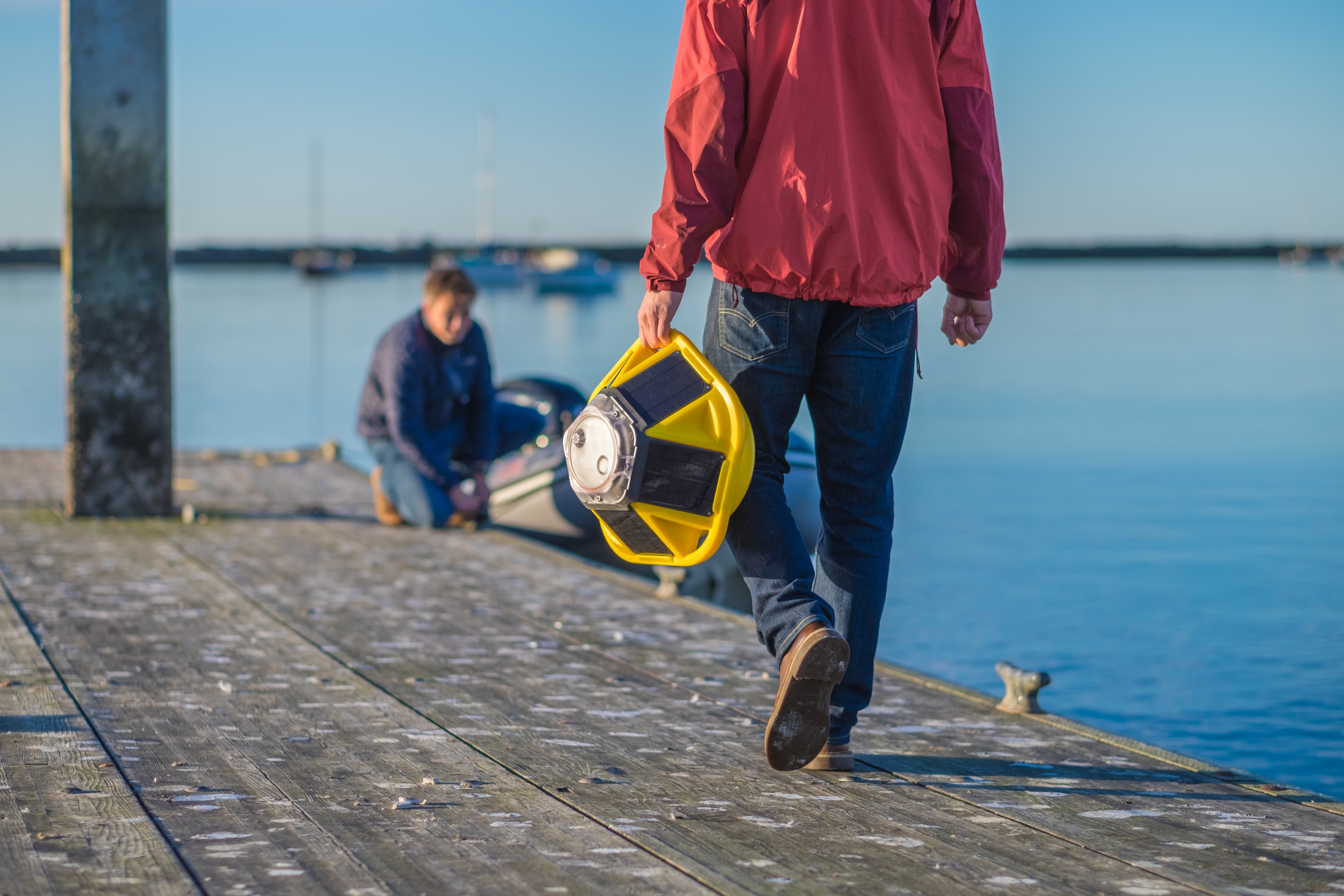
The Northern Mariana Islands (CNMI) sit in one of the most cyclone-exposed regions on the planet. For decades, coastal management on Saipan has been shaped by limited nearshore data, and offshore government buoys couldn't capture what was happening along the island's leeward coast.
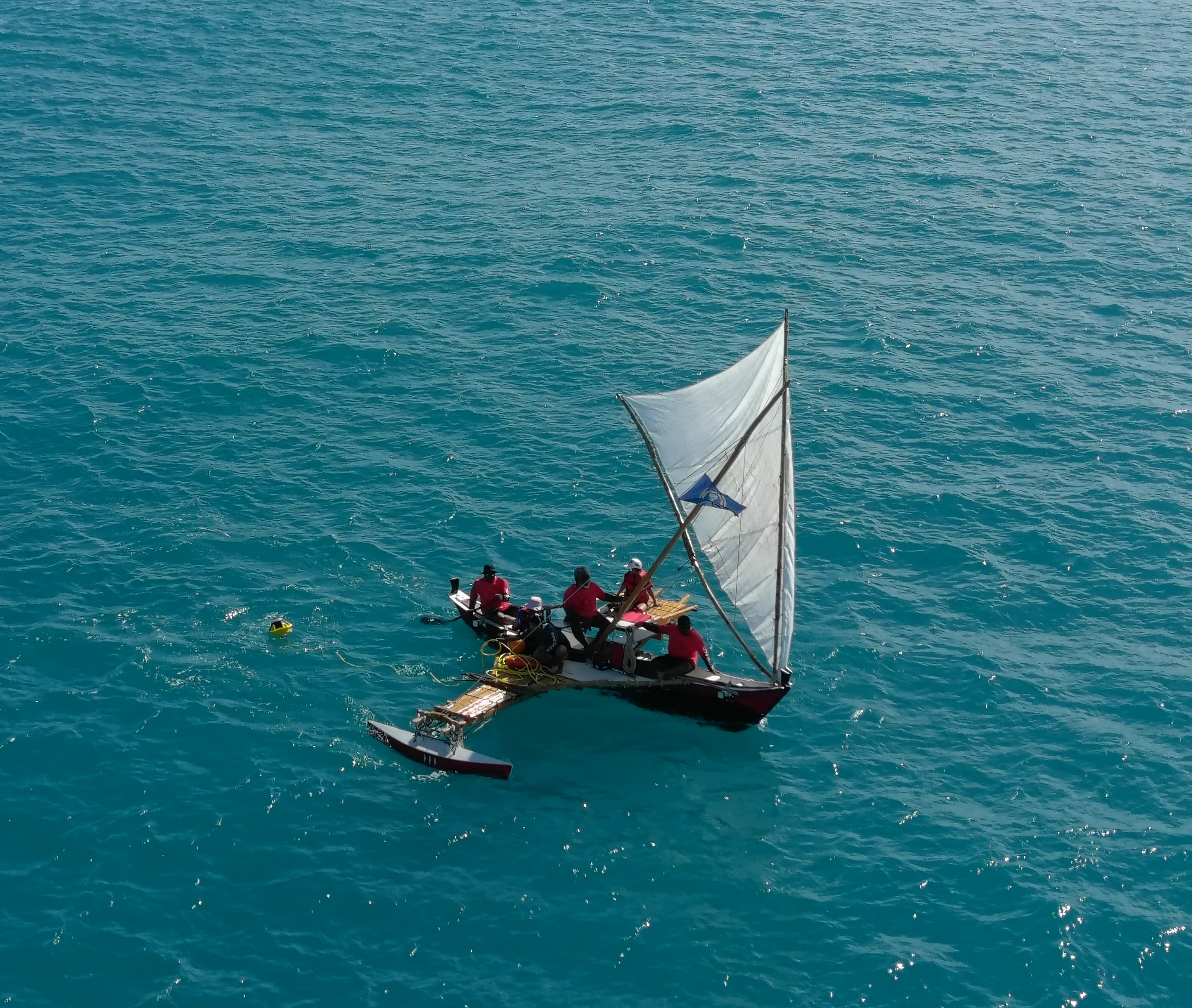
Join Sofar Ocean and Robbie Greene, Associate Director at Pacific Coastal Research & Planning (PCRP), to learn how his team deployed Spotter buoys from traditional Chamorro Proas and Carolinian canoes, captured the direct passage of Super Typhoon Sinlaku at 922 mb, and what that data means for coastal resilience in the region.
What we'll cover:
- The process that brought together resource managers, coral restoration practitioners, fishing communities, and Master Navigators from 500 Sails in one of the first community-stewarded ocean observing efforts in CNMI
- What Super Typhoon Sinlaku revealed: barometric readings of 922 mb at the eye, validating satellite estimates with direct in-storm measurements, and data now feeding National Weather Service post-storm reports
- How Spotter's lower cost and simpler deployment enabled a community-stewardship model that wasn't possible with traditional buoys, making it distributed, locally owned, and resilient through extreme events
- What's next: hydrodynamic modeling to support nature-based shoreline stabilization, expansion across CNMI, and growing interest from reef stewards in Fiji's Mamanuca Islands
Date and Time: June 17, 2026 at 9:00 AM (ChST) / June 16, 2026 at 4:00 PM (PTD)