Your routing team. Our optimization engine.
Optimize a route in one click, adjust any segment, and see what every change costs for your voyage before you commit.
What your team can do with Wayfinder Explore
Explore puts voyage planning and optimization in your team's hands. We price every change against live weather and your own vessel, so your team can move a waypoint or hold an RPM and see the fuel, the ETA, and the weather ahead before committing to it.
Optimize a route that maximizes efficiency while meeting your required arrival time. Optimize for speed alone, or speed and geometry together.
Move waypoints or change engine settings to re-simulate the voyage against live weather and your vessel's performance model
Compare the edited route against the original to analyze the impact on cost, fuel, and time.
Ship, routing, and shoreside teams can share updated route recommendations
Cost and speed changes are visible to the full team in real-time.
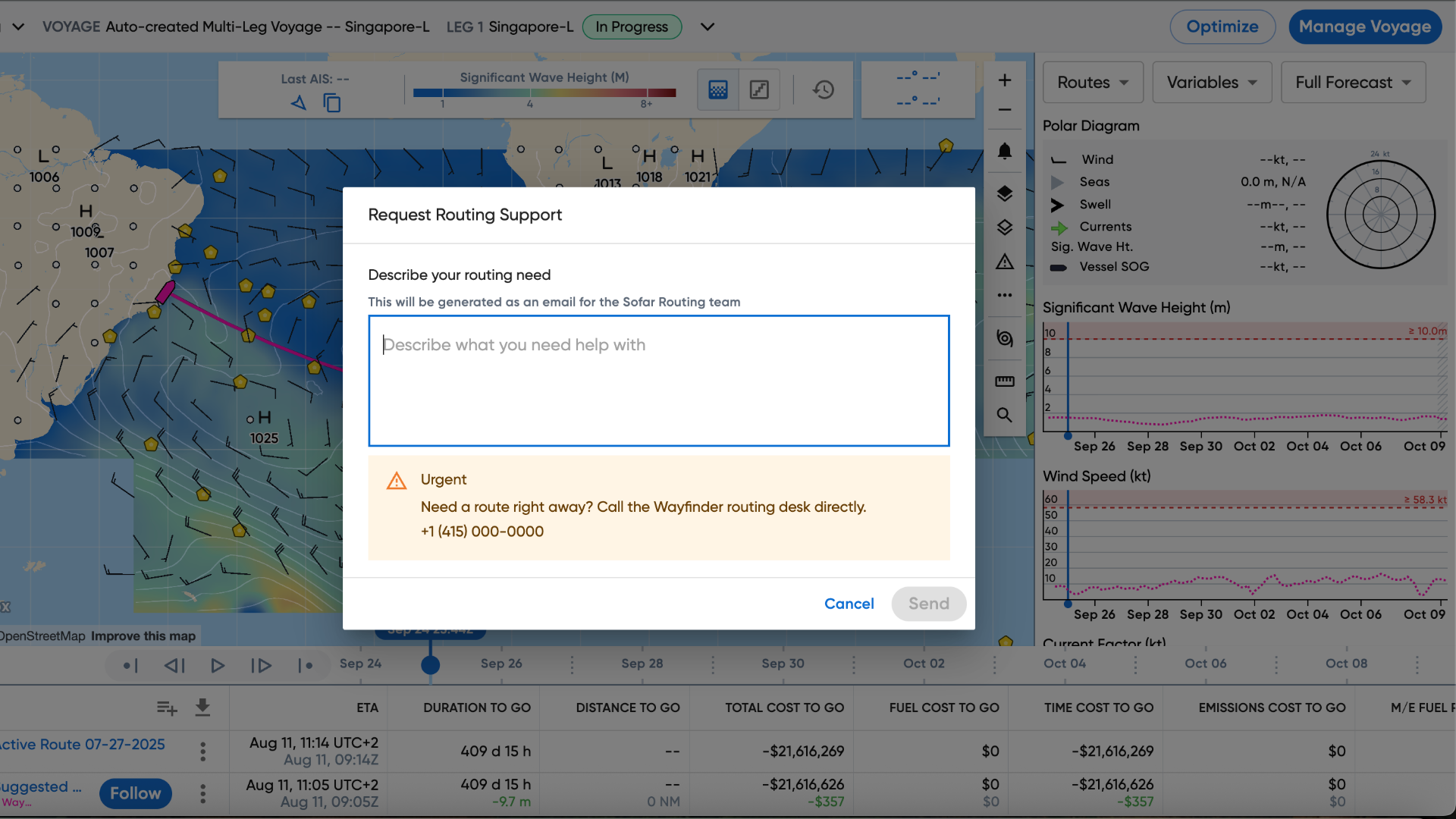
If needed, request a Sofar Ocean router from inside Wayfinder. Sofar’s router sends a recommendation to your team.
How Explore works
Teams generate optimizations and edit routes against real weather and the vessel's digital twin. Compare route options to assess fuel, time, and savings. Share voyage decisions between ship and shore.
Create an optimization
With one-click, a captain can create an optimal route, with the options to keep the same geometry or change it. The optimization shows up besides the active route, with the weather along the way in plain view.
Examine alternatives
Captains can duplicate any route and drag waypoints to test the cost impact of their own variation, without touching the active route.
Compare the tradeoffs
Every option sits side by side: ETA, distance, fuel, cost, and emissions to go, for Wayfinder’s routes and the captain’s own.
Follow or stay
The captain makes the call in one tap. Any changes to the route can be sent as alerts to shoreside to keep them in the loop.
Built on the Wayfinder Core
Every route our routing team reviews runs on Wayfinder Core: voyage optimization built on the most accurate marine weather forecast available, paired with a digital twin of your own vessel that updates on daily noon
reports to predict fuel within 2 percent and speed within half a knot. Ship and shore see the same routes, the same alerts, and the same realized savings at the end of every voyage.
Vessel Performance Model
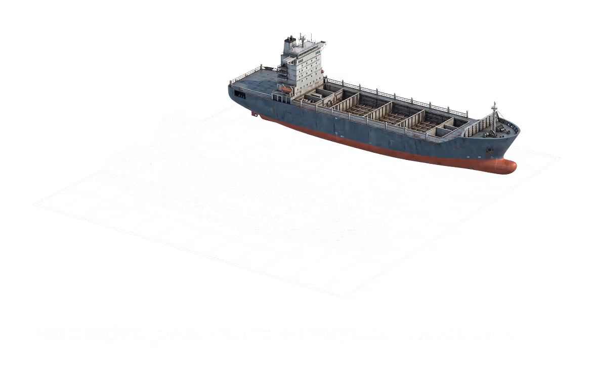
Wayfinder builds a digital twin of your vessel. It retrains on your ship's daily noon reports, so the model tracks how the vessel is actually performing throughout the voyage. Sofar’s vessel performance model predicts fuel within 2% MT and speed within 0.5 kt.
Hull, propeller, engine design
Sister-ship fleet baseline
Past voyage performance
Informed by observations
Every noon
Weather
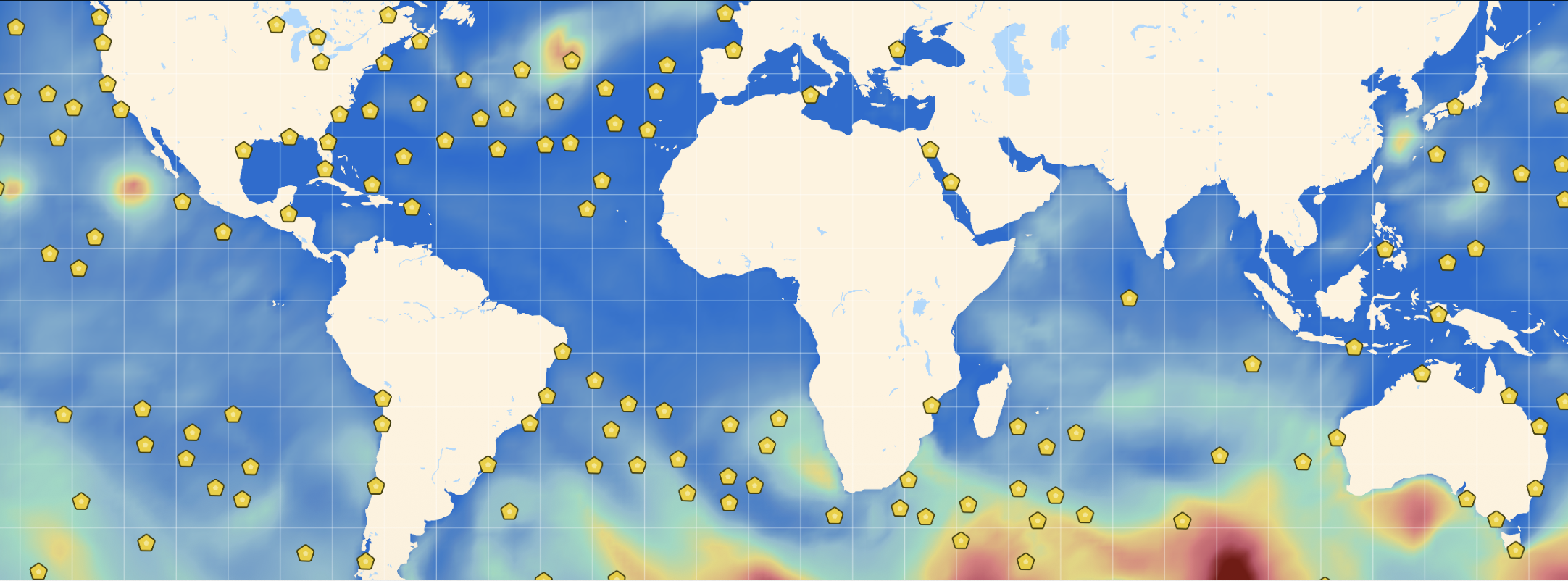
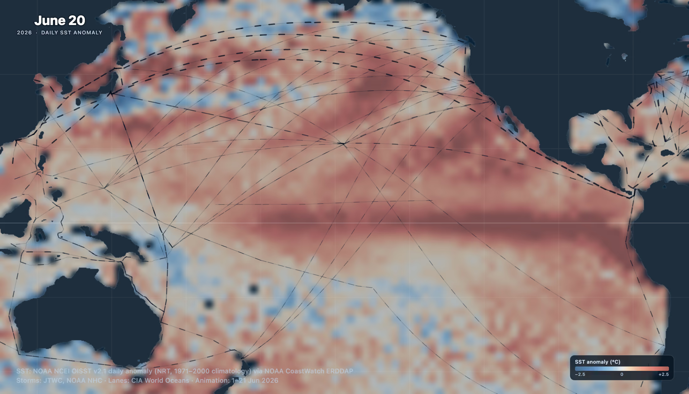
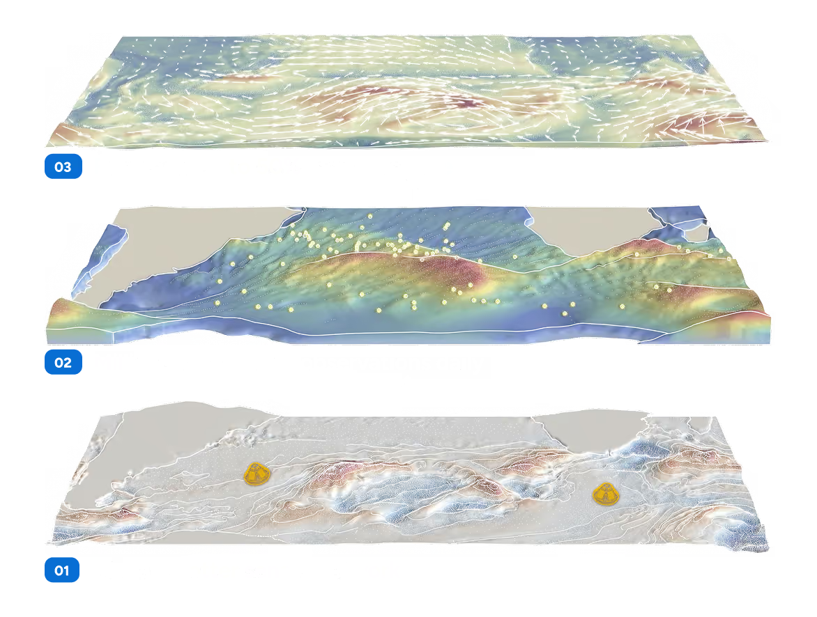
Sofar owns and operates the world's largest private network of ocean sensors , feeding millions of real-time observations into forecasts every day. These observations build directly into our forecast which is up to 50 percent more accurate than other leading models.
Voyage Simulator
Only Wayfinder lets you change route geometry and engine settings on any segment of a route, re-simulating against live weather and the digital twin after every edit and quantifying the cost, time, and fuel impact of every decision. No other platform does this.
Alerts
Wayfinder tells you when a vessel goes off track, rejects a route, is heading into a tropical storm, high wind, or high waves. Users choose the vessels, alert types, and thresholds.
Collaboration
Users can send a route, or a set of route options, by link to any other Wayfinder user. The recipient can view, compare, and activate routes for optimal transparency across teams.
View and Audit
See realized savings per voyage, per vessel, and across the fleet, with fuel and time gains attributed to the routes actually taken. At the end of every voyage, Wayfinder measures achieved speed and consumption against the terms of your charter party.